Old-Map
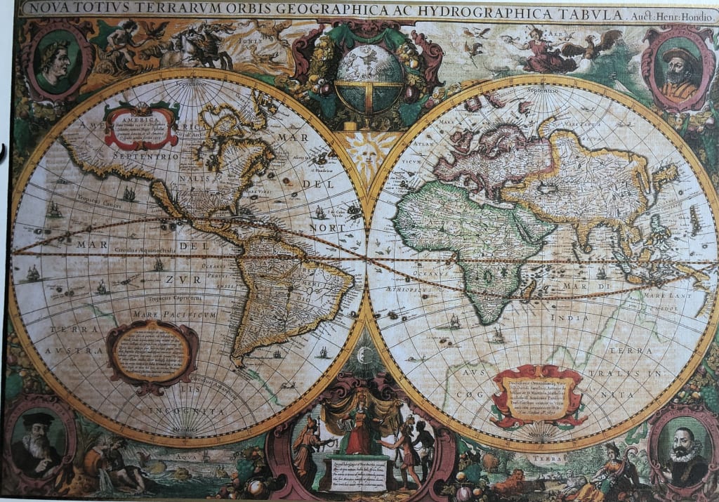
This detailed, antique-style world map displays the earth in two large circular hemispheres. The Western Hemisphere features the Americas, while the Eastern Hemisphere displays Europe, Africa, and Asia. Both spheres are filled with intricate cartographic lines, naming oceans and landmasses in Latin, and featuring small renderings of sailing ships scattered across the sea. The geography reflects an early historical understanding, including large, undefined landmasses at the southern poles.
The map is framed by an elaborate, decorative border filled with allegorical scenes. The four corners contain circular portraits of historical figures, each framed in ornate, colorful flourishes. Between these, panels and vignettes depict mythological and elemental motifs, including depictions of the heavens, land, and water. A centrally placed golden sun icon sits between the two hemispheres, casting a warm, celestial tone over the layout.
The composition is highly symmetrical, relying on a palette of earthy tones—muted creams, faded blues, ochres, and deep crimson accents. The overall mood is scholarly and reminiscent of the Age of Discovery, evoking a sense of exploration and the grand artistic style of classical cartography. The text appears in a formal, serif script, adding to the period-appropriate aesthetic of the illustration.
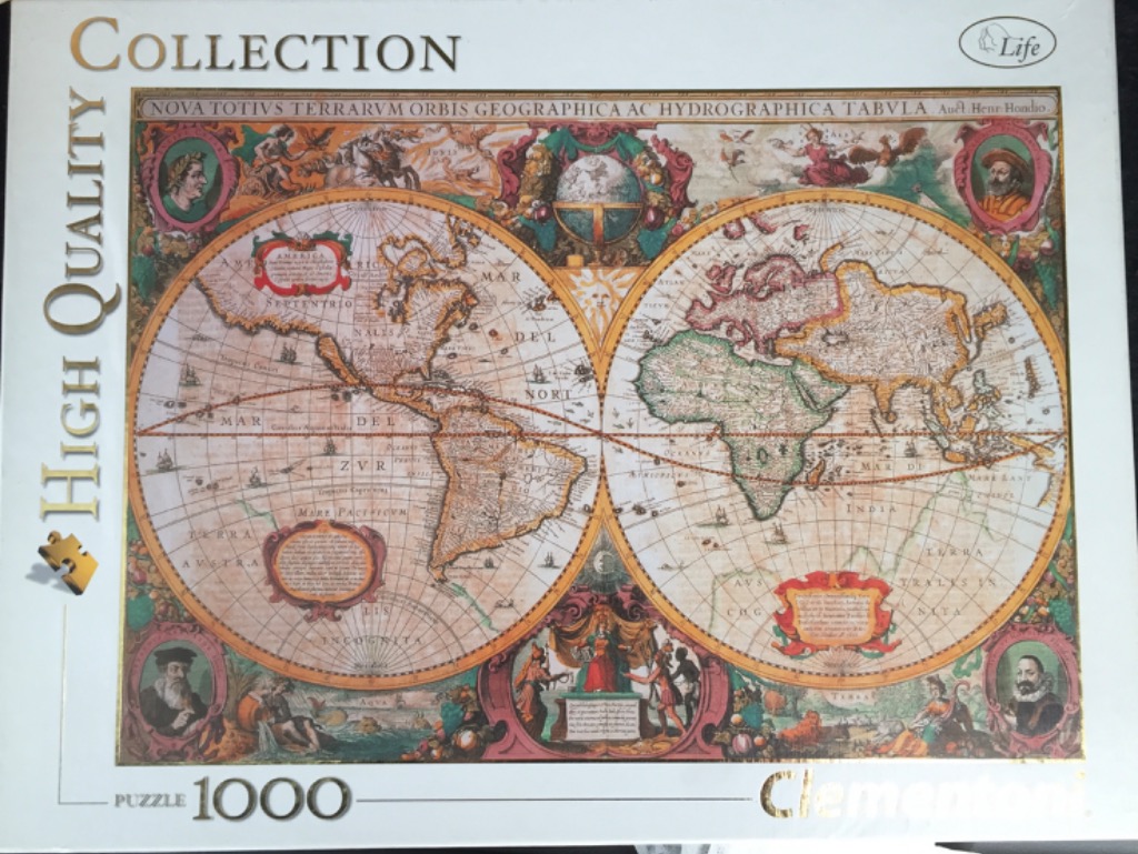
This vintage-style world map displays the earth in two large, detailed circular hemispheres. The Western Hemisphere on the left features North and South America, while the Eastern Hemisphere on the right depicts Europe, Africa, and Asia. The map is rendered in an antique style with sepia-toned parchment textures, delicate black linework, and soft washes of muted red, green, and gold. A singular, bright sun emblem sits at the top center between the two spheres.
The border surrounding the map is highly decorative, characteristic of 17th-century cartography. Each corner contains a circular medallion portrait of an explorer or historical figure. The space between the map and the borders is filled with elaborate illustrations of allegorical figures, mythological scenes, celestial globes, and lush arrangements of fruit and foliage. The entire piece is framed by an ornate, reddish-brown floral and vine motif that anchors the circular hemispheres within a rectangular composition.
Textual elements, including the Latin title "NOVA TOTIVS TERRARVM ORBIS GEOGRAPHICA AC HYDROGRAPHICA TABVLA," run across the top of the frame. Decorative cartouches containing descriptive Latin text are strategically placed in the lower regions of each hemisphere. The overall aesthetic is that of a historical, decorative map intended for scientific study and artistic display, blending accurate geographical knowledge of the era with intricate, symbolic storytelling.
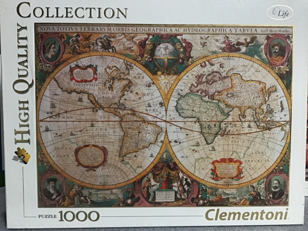
This artwork features a classical 17th-century double-hemisphere world map, titled across the top as "NOVA TOTIVS TERRARVM ORBIS GEOGRAPHICA AC HYDROGRAPHICA TABVLA." The central focus is the two large, circular hemispheres depicting the Americas on the left and Europe, Africa, and Asia on the right. The map is filled with intricate period-accurate geography, latitude and longitude lines, and tiny illustrations of sailing ships navigating the oceans.
The composition is highly decorative, characteristic of cartography from the golden age of exploration. Surrounding the two main spheres are elaborate illustrations representing the four seasons and the four elements, alongside mythological figures and portraits of historical explorers tucked into circular frames in the four corners. A large sun icon sits between the hemispheres, and ornate cartouches displaying cartographic notes are placed at the bottom of each sphere.
The colour palette is dominated by muted, earthy tones of parchment yellow, sepia, faded sage green, and soft terracotta red. The style is an antique engraving, utilizing fine black lines for coastal details and topographical features. The overall mood is one of historical discovery and academic elegance, evoking the aesthetic of an aged, hand-coloured manuscript map recovered from a royal collection.
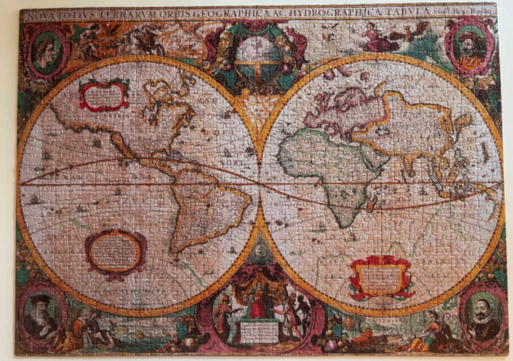
This antique-style world map displays the earth in two circular hemispheres, presented in a vintage 17th-century cartographic aesthetic. The left hemisphere depicts North and South America, while the right hemisphere focuses on Europe, Africa, and Asia. Both globes are filled with intricate, dated geographical renderings and thin lines representing latitude and longitude, along with faint illustrations of sailing vessels traversing the vast oceans.
The map is framed by an elaborate, decorative border filled with allegorical figures and portraits. Four oval portraits of men in period clothing are positioned in the corners, while the central top and bottom sections feature ornate illustrations of planetary or mythological scenes. A wide banner runs across the top of the image containing Latin text that translates to a universal geographical and hydrographical description of the world. Two large, stylized cartouches are nestled within the hemispheres, providing areas for labels or annotations.
The colour palette is muted and parchment-toned, featuring warm shades of tan, sepia, and beige to simulate aged paper. The continental outlines are accented with soft washes of green and yellow, while the decorative borders employ richer tones of crimson, gold, and deep forest green. The overall visual style is that of a classical copperplate engraving, emphasizing fine lines, detailed shading, and a historical, scholarly atmosphere.
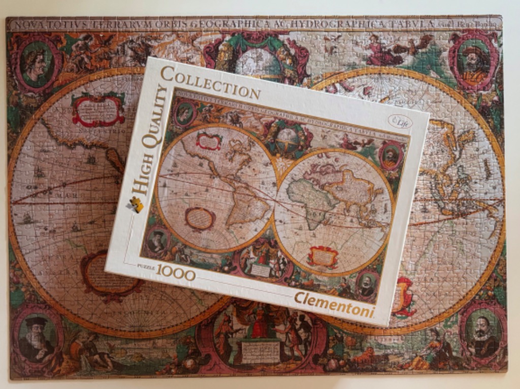
The main artwork is a reproduction of a 17th-century double-hemisphere world map. The composition is anchored by two large, circular globes depicting the known world of the era, set against a background of nautical grid lines and parchment-like textures. The map reflects a classic cartographic style, featuring antiquated borders, Latin text, and decorative elements that frame the central projections.
Surrounding the spheres are elaborate, ornate panels featuring mythological and historical figures, allegorical scenes, and celestial globes. Each of the four corners and the spaces between the hemispheres contain detailed illustrations of kings, scholars, and mythical entities rendered in a rich, painterly style. These vignettes add depth and narrative complexity, common to historical decorative mapping.
The colour palette is composed of aged parchment tones, sepia, ochre, and warm browns, contrasted with accents of muted red, forest green, and gold within the decorative borders. The overall aesthetic is one of a faded antique masterpiece, capturing the adventurous spirit of historical exploration. The fine lines of the map's geography and the intricate shading on the figures provide a high level of visual detail consistent with classical etching and hand-coloured engraving techniques.
