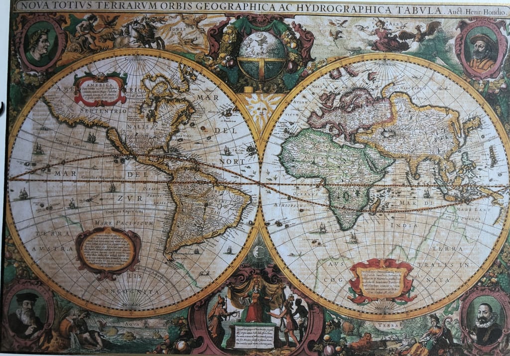
This detailed, antique-style world map displays the earth in two large circular hemispheres. The Western Hemisphere features the Americas, while the Eastern Hemisphere displays Europe, Africa, and Asia. Both spheres are filled with intricate cartographic lines, naming oceans and landmasses in Latin, and featuring small renderings of sailing ships scattered across the sea. The geography reflects an early historical understanding, including large, undefined landmasses at the southern poles.
The map is framed by an elaborate, decorative border filled with allegorical scenes. The four corners contain circular portraits of historical figures, each framed in ornate, colorful flourishes. Between these, panels and vignettes depict mythological and elemental motifs, including depictions of the heavens, land, and water. A centrally placed golden sun icon sits between the two hemispheres, casting a warm, celestial tone over the layout.
The composition is highly symmetrical, relying on a palette of earthy tones—muted creams, faded blues, ochres, and deep crimson accents. The overall mood is scholarly and reminiscent of the Age of Discovery, evoking a sense of exploration and the grand artistic style of classical cartography. The text appears in a formal, serif script, adding to the period-appropriate aesthetic of the illustration.