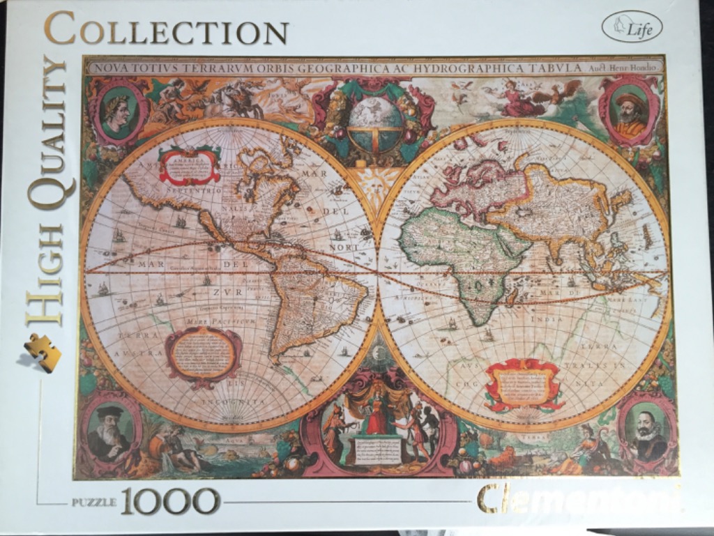
This vintage-style world map displays the earth in two large, detailed circular hemispheres. The Western Hemisphere on the left features North and South America, while the Eastern Hemisphere on the right depicts Europe, Africa, and Asia. The map is rendered in an antique style with sepia-toned parchment textures, delicate black linework, and soft washes of muted red, green, and gold. A singular, bright sun emblem sits at the top center between the two spheres.
The border surrounding the map is highly decorative, characteristic of 17th-century cartography. Each corner contains a circular medallion portrait of an explorer or historical figure. The space between the map and the borders is filled with elaborate illustrations of allegorical figures, mythological scenes, celestial globes, and lush arrangements of fruit and foliage. The entire piece is framed by an ornate, reddish-brown floral and vine motif that anchors the circular hemispheres within a rectangular composition.
Textual elements, including the Latin title "NOVA TOTIVS TERRARVM ORBIS GEOGRAPHICA AC HYDROGRAPHICA TABVLA," run across the top of the frame. Decorative cartouches containing descriptive Latin text are strategically placed in the lower regions of each hemisphere. The overall aesthetic is that of a historical, decorative map intended for scientific study and artistic display, blending accurate geographical knowledge of the era with intricate, symbolic storytelling.