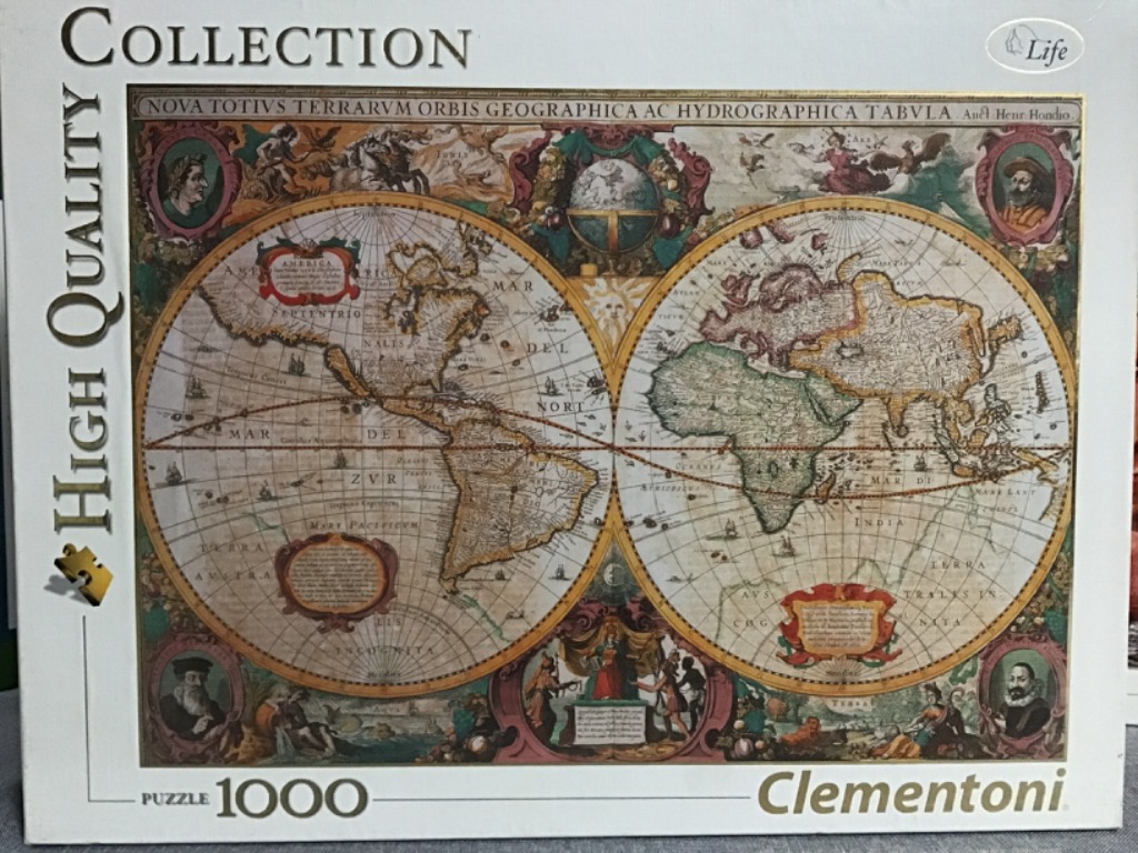
This artwork features a classical 17th-century double-hemisphere world map, titled across the top as "NOVA TOTIVS TERRARVM ORBIS GEOGRAPHICA AC HYDROGRAPHICA TABVLA." The central focus is the two large, circular hemispheres depicting the Americas on the left and Europe, Africa, and Asia on the right. The map is filled with intricate period-accurate geography, latitude and longitude lines, and tiny illustrations of sailing ships navigating the oceans.
The composition is highly decorative, characteristic of cartography from the golden age of exploration. Surrounding the two main spheres are elaborate illustrations representing the four seasons and the four elements, alongside mythological figures and portraits of historical explorers tucked into circular frames in the four corners. A large sun icon sits between the hemispheres, and ornate cartouches displaying cartographic notes are placed at the bottom of each sphere.
The colour palette is dominated by muted, earthy tones of parchment yellow, sepia, faded sage green, and soft terracotta red. The style is an antique engraving, utilizing fine black lines for coastal details and topographical features. The overall mood is one of historical discovery and academic elegance, evoking the aesthetic of an aged, hand-coloured manuscript map recovered from a royal collection.