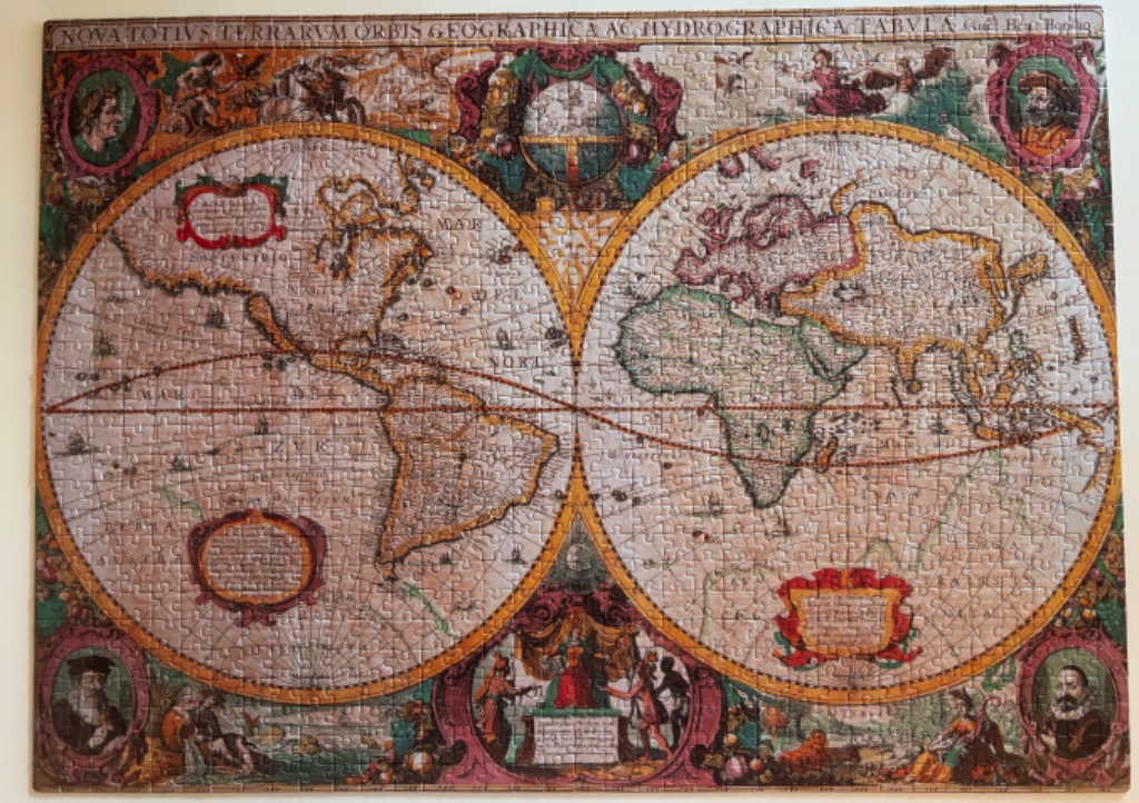
This antique-style world map displays the earth in two circular hemispheres, presented in a vintage 17th-century cartographic aesthetic. The left hemisphere depicts North and South America, while the right hemisphere focuses on Europe, Africa, and Asia. Both globes are filled with intricate, dated geographical renderings and thin lines representing latitude and longitude, along with faint illustrations of sailing vessels traversing the vast oceans.
The map is framed by an elaborate, decorative border filled with allegorical figures and portraits. Four oval portraits of men in period clothing are positioned in the corners, while the central top and bottom sections feature ornate illustrations of planetary or mythological scenes. A wide banner runs across the top of the image containing Latin text that translates to a universal geographical and hydrographical description of the world. Two large, stylized cartouches are nestled within the hemispheres, providing areas for labels or annotations.
The colour palette is muted and parchment-toned, featuring warm shades of tan, sepia, and beige to simulate aged paper. The continental outlines are accented with soft washes of green and yellow, while the decorative borders employ richer tones of crimson, gold, and deep forest green. The overall visual style is that of a classical copperplate engraving, emphasizing fine lines, detailed shading, and a historical, scholarly atmosphere.