4D Game of Thrones Westeros & Essos
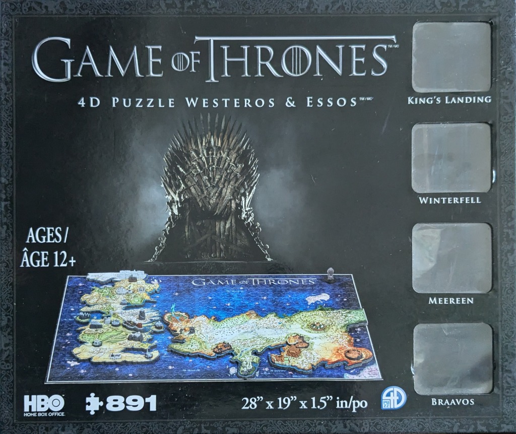
The central imagery features the iconic Iron Throne, constructed from numerous jagged, metallic swords. It sits against a dark, moody, and ethereal smoky background that suggests mystery and power. The throne is rendered in sharp, monochromatic grey tones with dramatic lighting that highlights the intricate, blade-like textures.
Positioned below the throne is a detailed, multi-layered map of two fantasy continents, Westeros and Essos, surrounded by a deep blue ocean. The map is depicted as a physical, textured landscape with miniature architectural structures representing various cities and strongholds. The contrast between the dark, ominous upper portion and the vibrant, cartographic lower section creates a strong visual balance between thematic lore and geographic detail.
The overall aesthetic is dark and cinematic, utilizing high-contrast lighting to draw the eye toward the throne before transitioning down to the intricately designed map. The right side of the visual area contains four vertical, rectangular grey panels, each labeled with a specific city name—King's Landing, Winterfell, Meereen, and Braavos—intended to display individual landmarks. The background is a solid matte black with subtle, ornate filigree border accents.
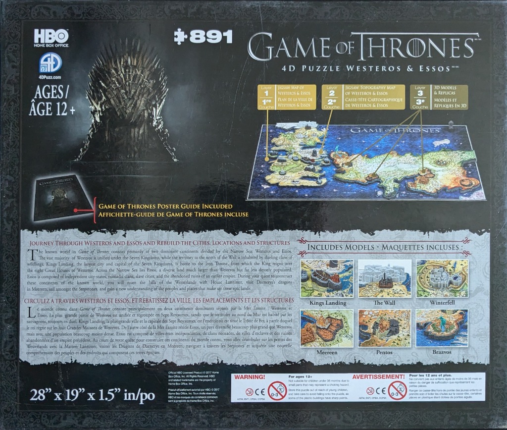
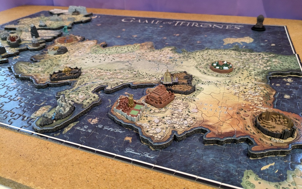
This image presents a detailed fantasy world map, depicting two major continents separated by a vast expanse of dark blue ocean. The map is rendered in an antique parchment style, with the landmasses in shades of beige and tan and the bodies of water in deep, textured navy blue. The top center features the title "GAME OF THRONES" in a metallic, serif typeface.
The western continent, Westeros, is long and narrow, filled with intricate geographical details including mountain ranges, forests, and winding rivers. The eastern continent, Essos, is broad and expansive, occupying the lower and right portions of the map with varied terrain. Numerous small, hand-drawn galleons are scattered across the deep blue seas, suggesting active trade routes and exploration between the lands.
The overall aesthetic is that of a classical cartographic illustration, with weathered textures and aged paper tones. The map is labeled with tiny, delicate calligraphy identifying various bays, seas, and regions. The lighting is even, emphasizing the contrast between the dark, textured water and the light, parchment-coloured land. A small, dark metallic object sits in the upper right corner, partially obscuring the edge of the blue ocean.
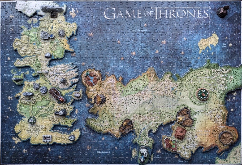
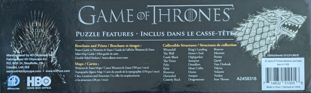
This map illustrates the fictional continents of Westeros and Essos, separated by a deep blue sea. The landmasses are rendered in a soft, parchment-like style featuring detailed topography, including forests, mountain ranges, and plains. The surrounding ocean is a textured navy blue, decorated with small, sparse illustrations of sailing ships. The title "GAME OF THRONES" is printed in an elegant, metallic-toned serif font at the top center of the sea, while various labels for bays and seas are scattered throughout the water.
Adding a sense of depth, several three-dimensional architectural structures and landmarks are positioned directly onto specific locations on the continents. These miniature, physical monuments represent various fortresses, towers, and cities, providing a sculptural contrast to the flat, illustrated surface of the map. The structures vary in colour, ranging from earthy greys and browns to more distinct shades of stone and metal.
The overall colour palette is dominated by the dark, moody blues of the water, which provides a stark contrast to the light tan, olive green, and sandy tones of the land. The lighting is even and soft, highlighting the relief of the three-dimensional elements that sit atop the flat map. The composition is expansive, effectively capturing the vast geography of the fictional world while emphasizing its key points of interest through the placement of these physical, elevated landmarks.
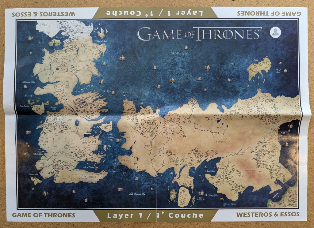
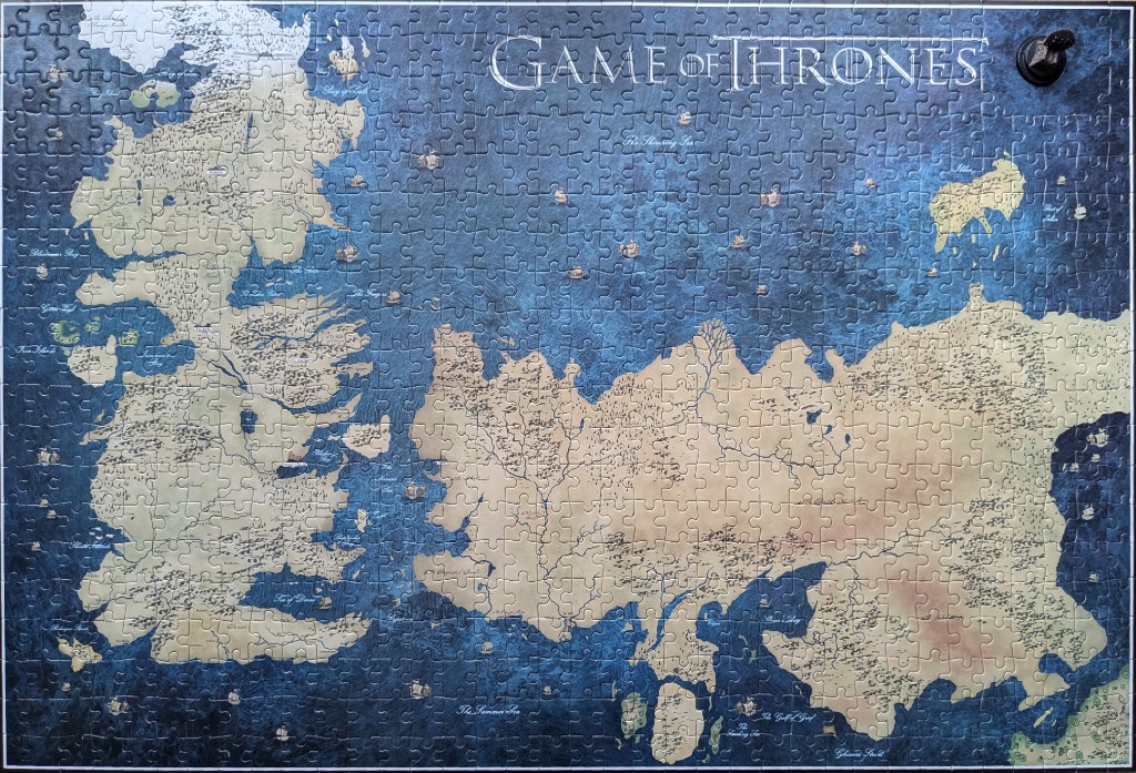
This illustration features a top-down cartographic view of two distinct continental landmasses, Westeros to the west and Essos to the east, separated by an expansive, deep blue expanse of ocean. The land is rendered in a parchment-like beige tone, detailed with faint topographical lines, mountain ranges, and forested areas. The vast ocean is depicted in rich, swirling shades of navy and cobalt, punctuated by numerous small, hand-drawn sailing ships that dot the maritime trade routes.
The composition is anchored by the stark contrast between the warm, textured land and the cool, fluid movement of the sea. A vertical and horizontal crease runs through the center of the image, suggesting a folded surface. Labels for various regions, bays, and seas are scattered across the map in a classic serif font, providing navigational context to the geography. The title, "GAME OF THRONES," is positioned prominently in the upper center in a clean, elegant typeface.
The overall mood is reminiscent of an ancient, explorer’s map, evoking themes of fantasy, adventure, and geopolitical scale. The artwork is characterized by high detail in the coastlines and the stylized, swirling current effects within the ocean waters, giving the surface a sense of depth and turbulence. The borders of the image are framed by white margins that feature repeated, inverted text identifying the continents and the layer level, framed by golden-brown corner tabs.
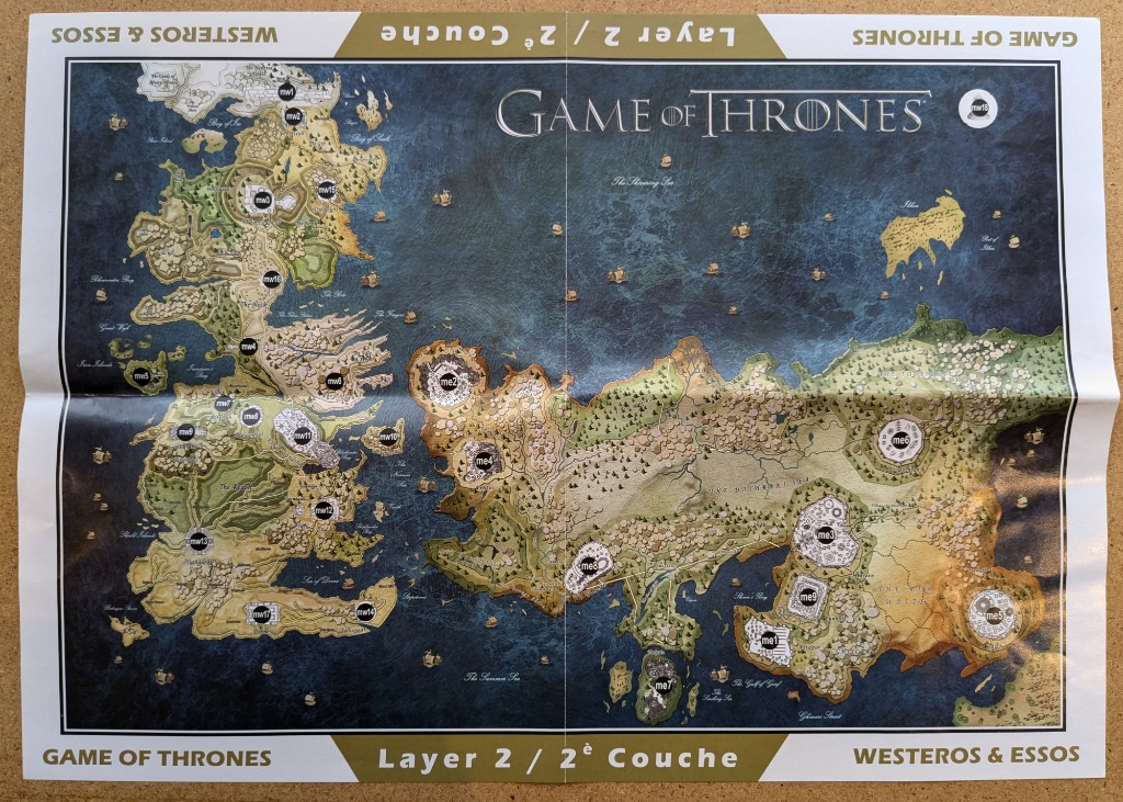
This illustration presents a detailed fantasy map of two vast continents separated by a large, deep-blue ocean. On the left, the landmass of Westeros is depicted with rugged coastlines, mountainous terrain, and green forest regions. On the right, the expansive continent of Essos is shown, characterized by broader, flatter plains, grassy regions, and arid desert landscapes. The deep blue expanse of the sea in between is dotted with miniature illustrations of sailing ships, suggesting active maritime travel between the two regions.
Throughout the map, circular navigation markers containing text codes, such as 'mw' and 'me,' are strategically placed over key geographical locations and cities. These labels help define specific zones, such as the mountain ranges, forests, and desert basins. The entire composition is contained within a thin, dark border. The background of the map uses varying shades of beige, tan, and soft green to denote different elevations and terrain types, while the water features rich blue hues that lighten toward the coastlines.
At the very top, the title 'GAME OF THRONES' is centered in elegant, serif typography. The surrounding white border contains repeating text, including 'WESTEROS & ESSOS' and 'Layer 2 / 2e Couche' in both English and French, framing the map in a professional, cartographic style. The overall mood is epic and adventurous, mimicking the aesthetic of a classic high-fantasy guide.
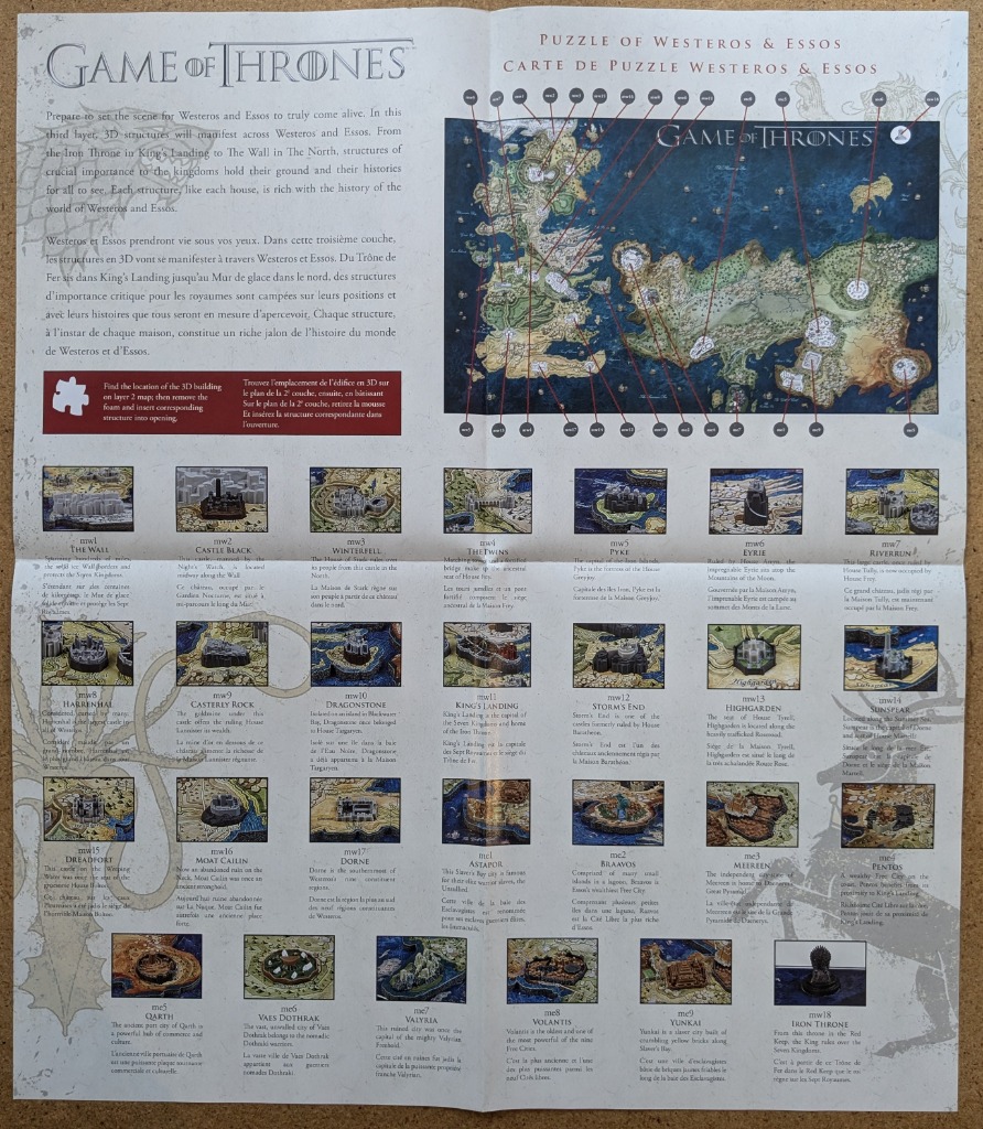
This instructional guide displays a detailed map of a fictional fantasy world, spanning two large continents. The upper portion serves as the focal point, featuring an intricate map where various locations are marked with numbered circular tags. Thin red lines connect these numbers to their corresponding geographical positions, creating a technical and navigational appearance against a parchment-like background. The overall layout is structured and informative, designed to assist in locating specific landmarks.
Below the main map, the document presents a comprehensive grid of smaller, individual illustrations. These depict various fortresses, cities, and iconic structures, each accompanied by a numerical reference, a title, and descriptive text. The illustrations are rendered in a miniature, detailed style, showing stone castles, walled cities, and ruins set against lush, textured landscapes. The color palette relies heavily on earth tones, deep blues for the surrounding seas, and muted greens, reflecting a grounded, historical, and slightly weathered aesthetic.
The document is characterized by its organized, grid-like composition, reminiscent of a historical catalog or an educational atlas. The typography is clean and professional, balancing the dense imagery with clear labels. The background has a subtle, light-colored, aged paper texture, which enhances the fantasy cartography theme. The presentation is functional, blending illustrative fantasy art with the technical clarity of a reference manual.
