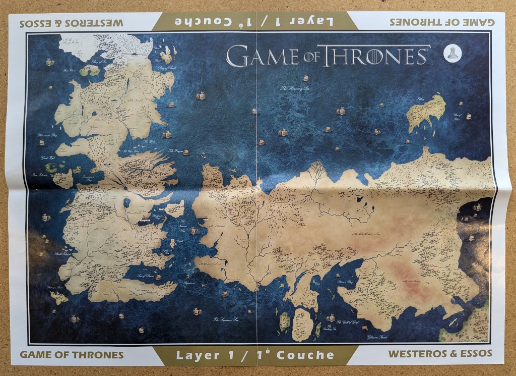
This illustration features a top-down cartographic view of two distinct continental landmasses, Westeros to the west and Essos to the east, separated by an expansive, deep blue expanse of ocean. The land is rendered in a parchment-like beige tone, detailed with faint topographical lines, mountain ranges, and forested areas. The vast ocean is depicted in rich, swirling shades of navy and cobalt, punctuated by numerous small, hand-drawn sailing ships that dot the maritime trade routes.
The composition is anchored by the stark contrast between the warm, textured land and the cool, fluid movement of the sea. A vertical and horizontal crease runs through the center of the image, suggesting a folded surface. Labels for various regions, bays, and seas are scattered across the map in a classic serif font, providing navigational context to the geography. The title, "GAME OF THRONES," is positioned prominently in the upper center in a clean, elegant typeface.
The overall mood is reminiscent of an ancient, explorer’s map, evoking themes of fantasy, adventure, and geopolitical scale. The artwork is characterized by high detail in the coastlines and the stylized, swirling current effects within the ocean waters, giving the surface a sense of depth and turbulence. The borders of the image are framed by white margins that feature repeated, inverted text identifying the continents and the layer level, framed by golden-brown corner tabs.