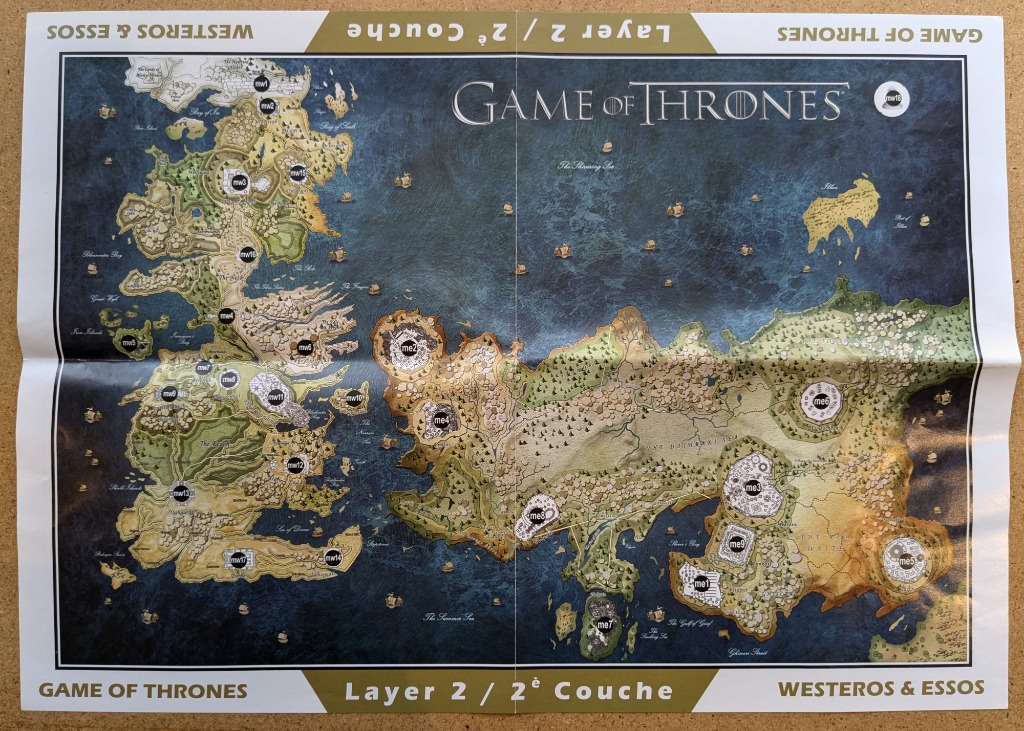
This illustration presents a detailed fantasy map of two vast continents separated by a large, deep-blue ocean. On the left, the landmass of Westeros is depicted with rugged coastlines, mountainous terrain, and green forest regions. On the right, the expansive continent of Essos is shown, characterized by broader, flatter plains, grassy regions, and arid desert landscapes. The deep blue expanse of the sea in between is dotted with miniature illustrations of sailing ships, suggesting active maritime travel between the two regions.
Throughout the map, circular navigation markers containing text codes, such as 'mw' and 'me,' are strategically placed over key geographical locations and cities. These labels help define specific zones, such as the mountain ranges, forests, and desert basins. The entire composition is contained within a thin, dark border. The background of the map uses varying shades of beige, tan, and soft green to denote different elevations and terrain types, while the water features rich blue hues that lighten toward the coastlines.
At the very top, the title 'GAME OF THRONES' is centered in elegant, serif typography. The surrounding white border contains repeating text, including 'WESTEROS & ESSOS' and 'Layer 2 / 2e Couche' in both English and French, framing the map in a professional, cartographic style. The overall mood is epic and adventurous, mimicking the aesthetic of a classic high-fantasy guide.