Napa Valley Wine County
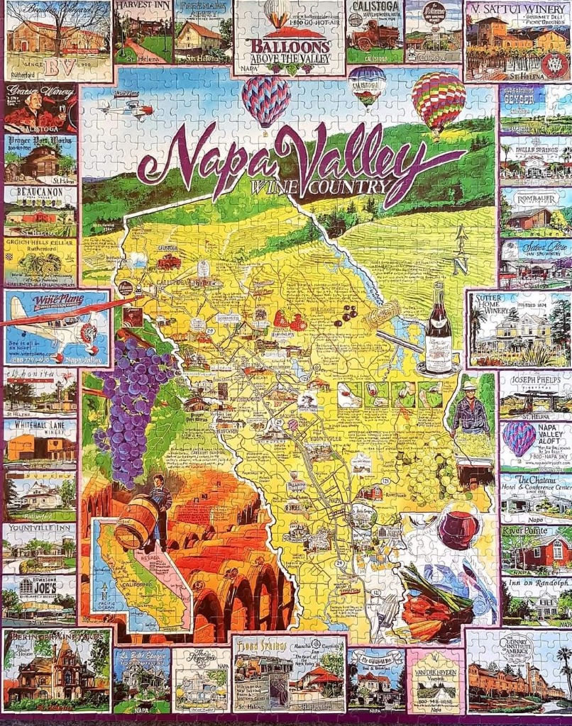
This illustration features a stylized map of Napa Valley, California, set against a vibrant landscape of rolling hills and vineyards. The central map is rendered in shades of sunny yellow, clearly marking roads and various towns like Calistoga, St. Helena, and Yountville. The title, "Napa Valley Wine Country," is written in a large, elegant purple script across the upper portion of the central area, beneath colorful hot air balloons floating in a soft blue sky.
Surrounding the central map is a decorative border composed of numerous small, rectangular vignettes. These individual panels showcase various local landmarks, iconic wineries, and historical buildings, providing a comprehensive tour of the region's architecture and scenery. The border art style is diverse, ranging from realistic depictions of estate buildings to charming sketches of storefronts, all framed within a neat, grid-like arrangement.
Interspersed across the map are illustrative highlights of the viticulture experience, including lush clusters of purple grapes, a bottle of wine with a filled glass, a winemaker rolling a wooden barrel, and a small inset map showing California's geography. The overall color palette is warm and inviting, dominated by the golden tones of the valley floor, the deep purples of ripe fruit, and the cheerful blues of the sky, creating a nostalgic, travel-guide aesthetic.
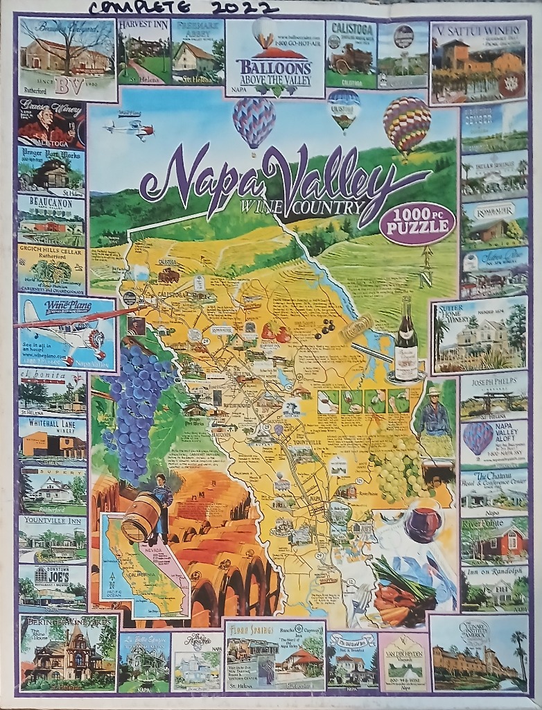
This illustration features a central stylized map of Napa Valley, California, highlighting roads, towns, and geographical landmarks. The map is overlaid with thematic icons, including clusters of purple and green grapes, a wine glass, and a small inset map showing California's location. A banner across the top reads "Napa Valley Wine Country" in elegant script, set against a backdrop of rolling hills and a sky filled with colorful hot air balloons.
The central map is framed by a border of approximately thirty individual rectangular vignettes. Each small illustration captures a specific winery, hotel, or scenic view from the region, complete with identifying text. The artistic style is a clean, classic travel-guide illustration, utilizing a warm palette of sunny yellows, lush greens, and deep purples to evoke the vibrant atmosphere of a summer vineyard landscape.
Additional visual elements integrated into the design include a small airplane flying near the western edge, a figure carrying a wine barrel, and a section depicting a tasting flight. The overall composition is dense and informative, functioning as both a decorative map and a collage of local attractions. The lighting is bright and evenly distributed across the composition, emphasizing the clear, saturated colors of the agricultural and architectural highlights of the region.



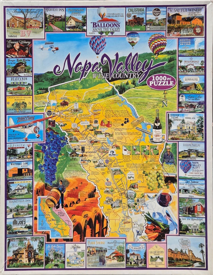
This illustration depicts a vibrant, educational map of Napa Valley, California, surrounded by a border of individual vignettes. The central focus is a stylized map showing roads, towns like Calistoga and Yountville, and various regional attractions. The map is overlaid with illustrations of wine culture, including clusters of blue and green grapes, a wine bottle and glass, and a farmer tending to barrels. Above the map, colorful hot air balloons drift over rolling green hills and golden-yellow fields under a clear blue sky, with the text "Napa Valley Wine Country" written in a sweeping, cursive font.
The map is framed by dozens of rectangular, postcard-style illustrations. These smaller images showcase famous local landmarks, historical wineries, hotels, and inns, each labeled with their name and town. In the corners and edges, one can find depictions of small aircraft, rustic architecture, and natural geysers, all rendered in a detailed, painterly style. A small inset map of California helps provide geographical context.
The overall palette is bright and inviting, dominated by the sunny yellows and greens of the valley floor, contrasted by the deep purples of the grapes and the soft blue of the sky. The artistic style is reminiscent of vintage travel brochures or commemorative tourist maps, using thin lines for geography and warm, saturated colors to evoke the lush, agricultural beauty of the region.
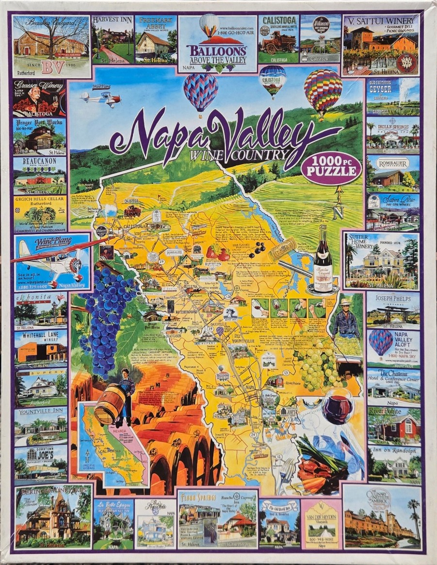
This illustration features a vibrant, folk-art style map of Napa Valley, California, centrally positioned and surrounded by a decorative border of smaller individual scenes. The map highlights key towns like Calistoga, St. Helena, and Yountville, connected by a network of roads and interspersed with illustrations of wine culture, including clusters of purple and green grapes, a wine bottle, a glass of red wine, and a farmer carrying a barrel. Two colorful hot air balloons drift in the sky above the map, while a small vintage-style airplane flies near the upper left.
The central map is set against a backdrop of rolling green hills and yellow vineyards, rendered in a warm, sunny color palette of golds, greens, and blues. The surrounding border is composed of numerous small, rectangular vignettes showing specific regional attractions, such as historic wineries, inns, hotels, and resorts. These images are captured in a mix of soft illustration and photographic styles, each captioned with the name of the location and the specific town it occupies.
The composition is busy and educational, functioning as a travel guide that blends cartography with promotional imagery. The overall mood is inviting and bright, celebrating the bounty and heritage of the wine region. Text is scattered throughout, providing historical tidbits and regional facts, while the main title, "Napa Valley WINE COUNTRY," is written in elegant, flowing script across the top center of the design.
