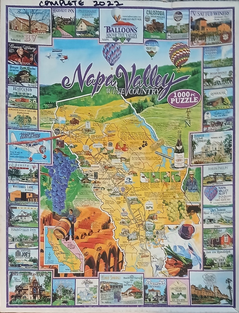
This illustration features a central stylized map of Napa Valley, California, highlighting roads, towns, and geographical landmarks. The map is overlaid with thematic icons, including clusters of purple and green grapes, a wine glass, and a small inset map showing California's location. A banner across the top reads "Napa Valley Wine Country" in elegant script, set against a backdrop of rolling hills and a sky filled with colorful hot air balloons.
The central map is framed by a border of approximately thirty individual rectangular vignettes. Each small illustration captures a specific winery, hotel, or scenic view from the region, complete with identifying text. The artistic style is a clean, classic travel-guide illustration, utilizing a warm palette of sunny yellows, lush greens, and deep purples to evoke the vibrant atmosphere of a summer vineyard landscape.
Additional visual elements integrated into the design include a small airplane flying near the western edge, a figure carrying a wine barrel, and a section depicting a tasting flight. The overall composition is dense and informative, functioning as both a decorative map and a collage of local attractions. The lighting is bright and evenly distributed across the composition, emphasizing the clear, saturated colors of the agricultural and architectural highlights of the region.