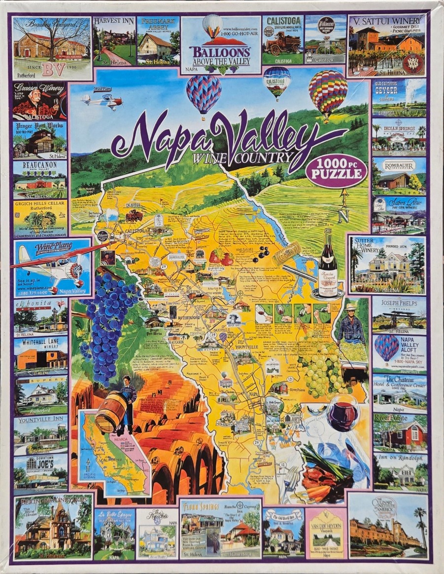
This illustration depicts a vibrant, educational map of Napa Valley, California, surrounded by a border of individual vignettes. The central focus is a stylized map showing roads, towns like Calistoga and Yountville, and various regional attractions. The map is overlaid with illustrations of wine culture, including clusters of blue and green grapes, a wine bottle and glass, and a farmer tending to barrels. Above the map, colorful hot air balloons drift over rolling green hills and golden-yellow fields under a clear blue sky, with the text "Napa Valley Wine Country" written in a sweeping, cursive font.
The map is framed by dozens of rectangular, postcard-style illustrations. These smaller images showcase famous local landmarks, historical wineries, hotels, and inns, each labeled with their name and town. In the corners and edges, one can find depictions of small aircraft, rustic architecture, and natural geysers, all rendered in a detailed, painterly style. A small inset map of California helps provide geographical context.
The overall palette is bright and inviting, dominated by the sunny yellows and greens of the valley floor, contrasted by the deep purples of the grapes and the soft blue of the sky. The artistic style is reminiscent of vintage travel brochures or commemorative tourist maps, using thin lines for geography and warm, saturated colors to evoke the lush, agricultural beauty of the region.