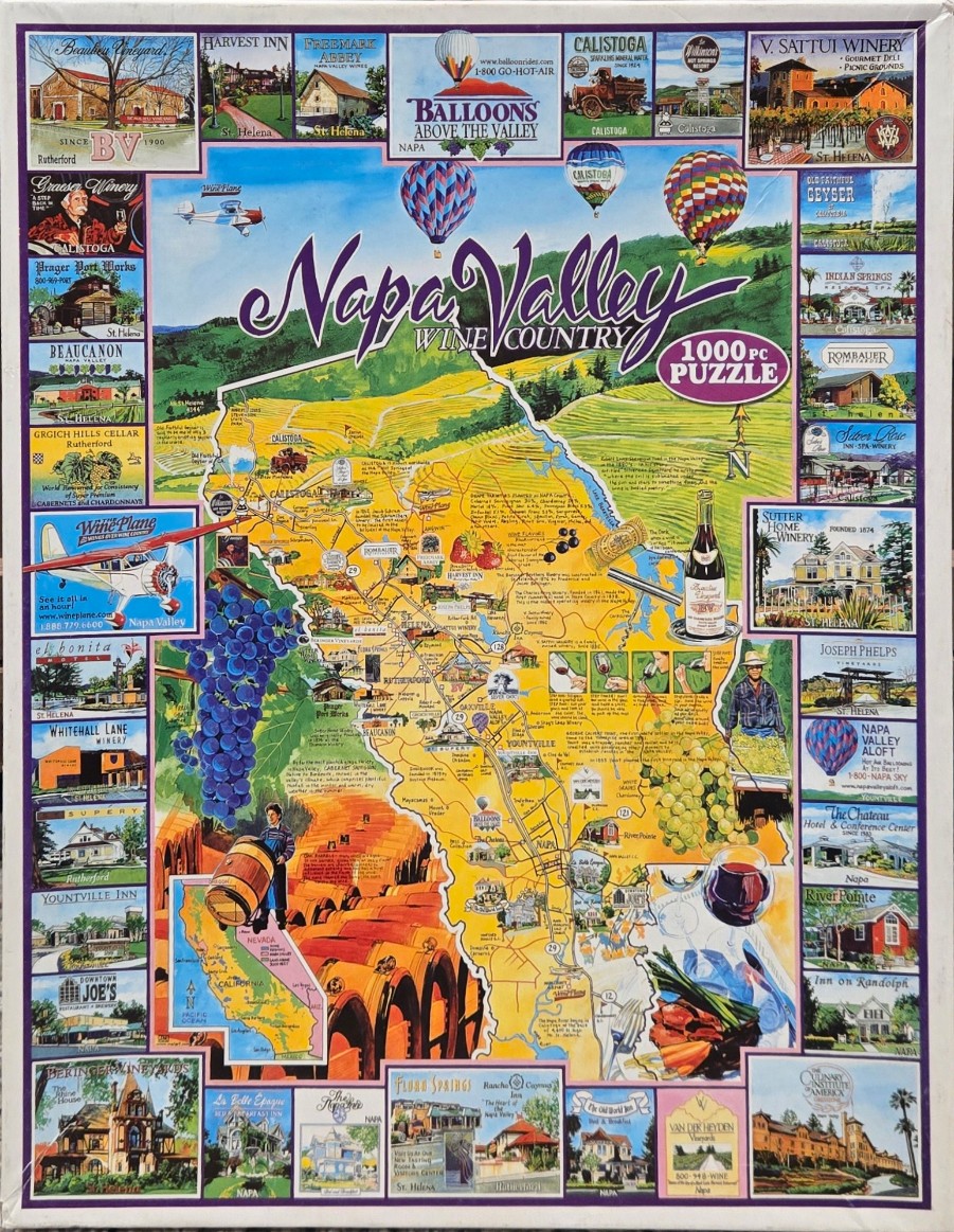
This illustration features a vibrant, folk-art style map of Napa Valley, California, centrally positioned and surrounded by a decorative border of smaller individual scenes. The map highlights key towns like Calistoga, St. Helena, and Yountville, connected by a network of roads and interspersed with illustrations of wine culture, including clusters of purple and green grapes, a wine bottle, a glass of red wine, and a farmer carrying a barrel. Two colorful hot air balloons drift in the sky above the map, while a small vintage-style airplane flies near the upper left.
The central map is set against a backdrop of rolling green hills and yellow vineyards, rendered in a warm, sunny color palette of golds, greens, and blues. The surrounding border is composed of numerous small, rectangular vignettes showing specific regional attractions, such as historic wineries, inns, hotels, and resorts. These images are captured in a mix of soft illustration and photographic styles, each captioned with the name of the location and the specific town it occupies.
The composition is busy and educational, functioning as a travel guide that blends cartography with promotional imagery. The overall mood is inviting and bright, celebrating the bounty and heritage of the wine region. Text is scattered throughout, providing historical tidbits and regional facts, while the main title, "Napa Valley WINE COUNTRY," is written in elegant, flowing script across the top center of the design.