USA & Canada / World
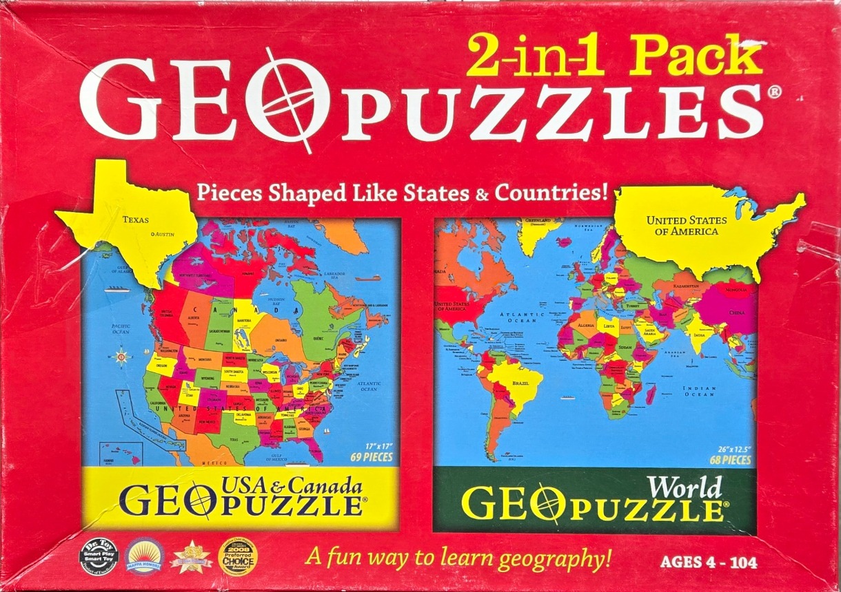
The central imagery features two distinct, brightly colored, illustrated maps set against a solid red background. On the left is a map of the United States and Canada, with individual states and provinces depicted in a variety of saturated hues like pink, yellow, green, and orange. Floating above this map is a cutout-style graphic of Texas in bright yellow, labeling the state and its capital, Austin.
On the right side is a detailed world map, similarly rendered with a vibrant, multi-colored palette where each country is clearly delineated. A cutout graphic of the United States, also in bright yellow, is superimposed over the top right corner of the world map frame. The oceans in both maps are rendered in a consistent, light sky-blue tone, providing a clean contrast to the colorful landmasses.
The overall layout is structured symmetrically with the two maps encased in dark rectangular frames. The style is educational and graphic, using bold, easy-to-read typography for geographical labels. Various award emblems and descriptive text are integrated into the lower portion of the red background, framing the maps as an accessible, lighthearted approach to learning global geography.
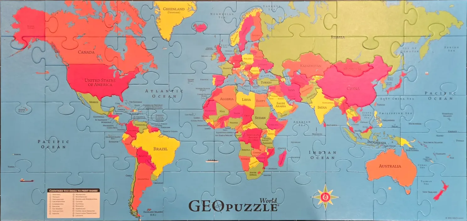
This educational world map illustrates the Earth's continents and oceans in a simplified, vibrant style. The continents are divided into individual countries, each colored in a specific hue of red, pink, yellow, or light green, allowing for clear visual distinction between neighbors. The background represents the oceans in a consistent, muted blue tone, providing a calm backdrop that allows the landmasses to stand out.
The layout follows a traditional cartographic projection with the Americas on the left, Africa and Europe in the center, and Asia and Australia on the right. Large bodies of water like the Atlantic, Pacific, and Indian Oceans are labeled clearly in dark text. The map includes a compass rose in the lower right corner, adding a classic navigational touch to the composition.
Text overlays identify the names of countries and major geographic features, utilizing a clean, sans-serif font. In the lower-left corner, a dedicated box titled 'Countries too small to print names' contains a numbered list, providing a solution for smaller nations that cannot fit a label on the main map. The overall aesthetic is clean, bright, and functional, designed to be informative and easy to read.
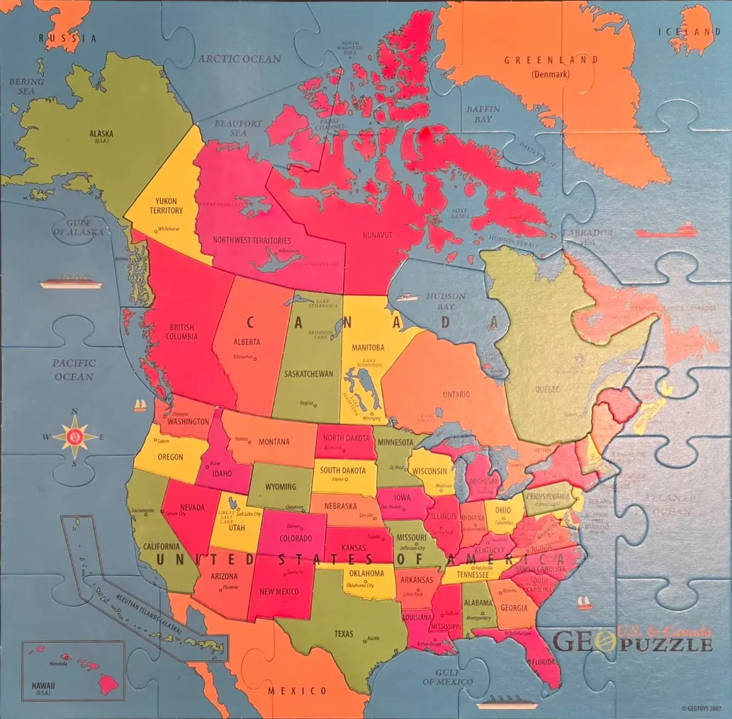
This illustrative map depicts the geography of North America, specifically focusing on Canada and the United States. The continental layout is presented in a flat, educational style, featuring clearly defined borders for each Canadian province and U.S. state. The oceans, including the Pacific, Atlantic, and Arctic, are represented in a uniform, muted blue tone, providing a calm backdrop for the vibrant, multi-coloured landmass.
The land is divided into a mosaic of bold, primary and secondary colours, including bright red, sunny yellow, orange, and olive green. This chromatic variation distinguishes neighboring regions, making it easy to identify individual political boundaries. Labels in clear, black sans-serif font name the major regions, states, and provinces, while smaller dots mark capital cities. Key geographical features like the Great Lakes, Hudson Bay, and various northern territories are clearly identified.
The aesthetic is clean and functional, resembling a classroom wall map. Subtle decorative elements, such as a traditional compass rose on the left and small illustrations of ships in the surrounding waters, enhance the nautical and exploratory theme. The overall mood is informative and cheerful, utilizing a high-contrast palette that ensures every geographic detail remains legible and distinct.
Love maps.
Some pieces were quite large.
Way fun to build
by Jim Poleshuk 2026-06-20
