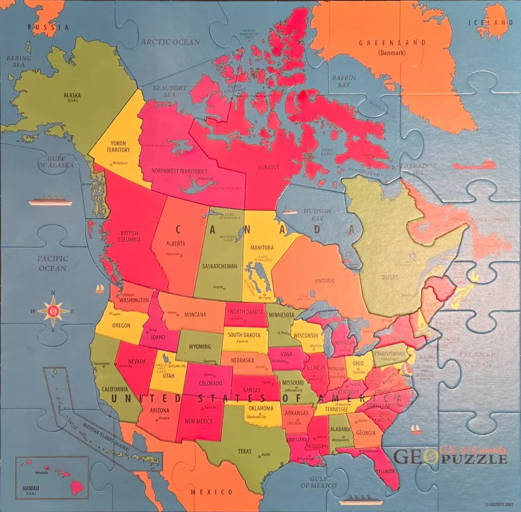
This illustrative map depicts the geography of North America, specifically focusing on Canada and the United States. The continental layout is presented in a flat, educational style, featuring clearly defined borders for each Canadian province and U.S. state. The oceans, including the Pacific, Atlantic, and Arctic, are represented in a uniform, muted blue tone, providing a calm backdrop for the vibrant, multi-coloured landmass.
The land is divided into a mosaic of bold, primary and secondary colours, including bright red, sunny yellow, orange, and olive green. This chromatic variation distinguishes neighboring regions, making it easy to identify individual political boundaries. Labels in clear, black sans-serif font name the major regions, states, and provinces, while smaller dots mark capital cities. Key geographical features like the Great Lakes, Hudson Bay, and various northern territories are clearly identified.
The aesthetic is clean and functional, resembling a classroom wall map. Subtle decorative elements, such as a traditional compass rose on the left and small illustrations of ships in the surrounding waters, enhance the nautical and exploratory theme. The overall mood is informative and cheerful, utilizing a high-contrast palette that ensures every geographic detail remains legible and distinct.