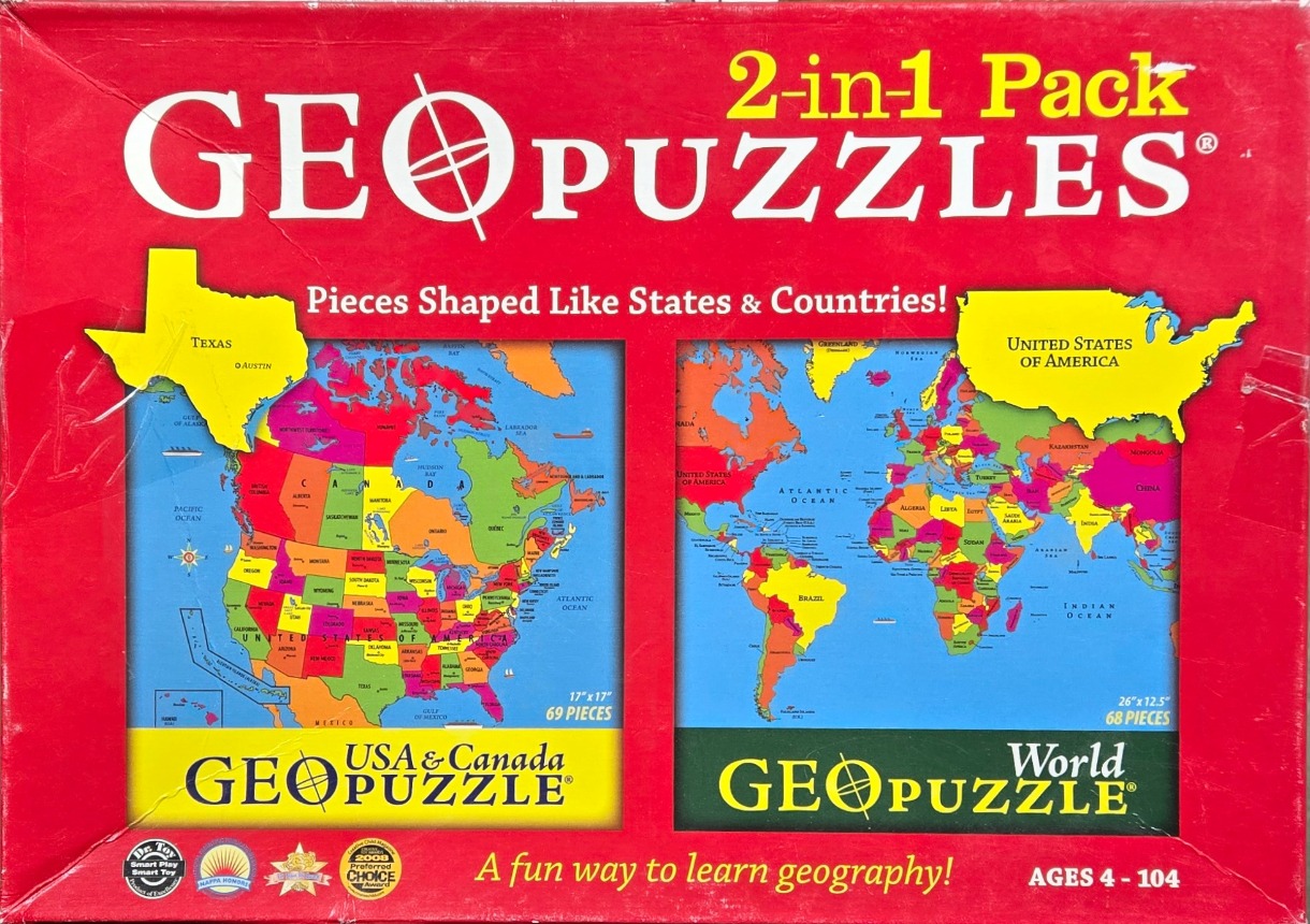
The central imagery features two distinct, brightly colored, illustrated maps set against a solid red background. On the left is a map of the United States and Canada, with individual states and provinces depicted in a variety of saturated hues like pink, yellow, green, and orange. Floating above this map is a cutout-style graphic of Texas in bright yellow, labeling the state and its capital, Austin.
On the right side is a detailed world map, similarly rendered with a vibrant, multi-colored palette where each country is clearly delineated. A cutout graphic of the United States, also in bright yellow, is superimposed over the top right corner of the world map frame. The oceans in both maps are rendered in a consistent, light sky-blue tone, providing a clean contrast to the colorful landmasses.
The overall layout is structured symmetrically with the two maps encased in dark rectangular frames. The style is educational and graphic, using bold, easy-to-read typography for geographical labels. Various award emblems and descriptive text are integrated into the lower portion of the red background, framing the maps as an accessible, lighthearted approach to learning global geography.