World's Map
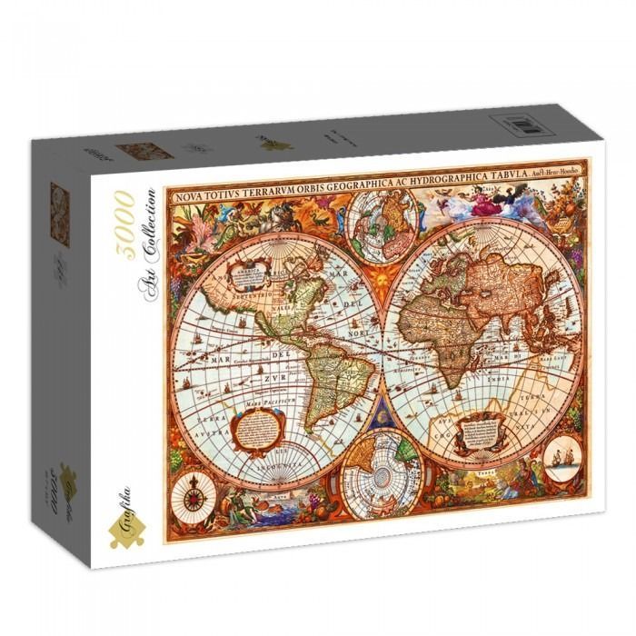
This vintage-style world map presents the Earth in a classic double-hemisphere projection. The two large central spheres display the continents as understood during the early exploration period, with North and South America on the left and Europe, Africa, and Asia on the right. Additional smaller circular diagrams showing the polar regions are nestled between the hemispheres, while ornate scrollwork and cartographic labels in Latin fill the negative space.
The aesthetic is rich with the warm, aged tones of parchment and ink, dominated by sepia, ochre, terracotta, and faded teal. The map is densely decorated with elaborate allegorical scenes in the corners and margins, depicting mythological figures, maritime elements, and celestial motifs. These intricate borders frame the geographical information, giving the work a baroque, encyclopedic feel.
The artwork appears to be a digital reproduction of a 17th-century copperplate engraving. The fine line work and cross-hatching typical of that medium are evident throughout the sea sections and landmasses, depicting small sailing ships, sea monsters, and wind roses. The Latin title, "NOVA TOTIVS TERRARVM ORBIS GEOGRAPHICA AC HYDROGRAPHICA TABVLA," is boldly displayed across the upper border, anchoring the composition.
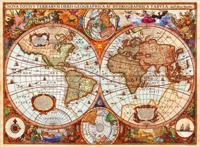
This highly detailed 17th-century style world map is centered on two large, circular hemispheres representing the globe. The western hemisphere features North and South America, while the eastern hemisphere displays Europe, Africa, and Asia. Both spheres are rendered with antiquated geographical knowledge and labeled in Latin. Smaller circular maps are positioned at the top and bottom center, showing the North and South polar regions, and a compass rose is featured in the lower-left corner.
The layout is densely packed with elaborate, hand-colored illustrations in the margins. Figures depicting classical deities, symbolic representations of the elements, and lush arrangements of fruit and foliage frame the maps. Ships are scattered across the vast oceans depicted within the spheres, adding a sense of maritime exploration. The overall composition is symmetrical and academic, balancing the scientific nature of the cartography with the ornate, decorative style of the period.
The color palette is warm and aged, utilizing sepia tones, ochre, muted greens, and soft reds to mimic the appearance of weathered parchment and ink. The lighting is flat, highlighting the intricate linework and calligraphic text that fills the oceanic voids. The atmosphere is one of historical exploration and discovery, evoking the aesthetic of Renaissance-era cartography where maps were treated as both navigational tools and works of art.
