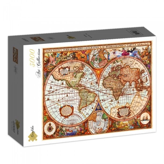
This vintage-style world map presents the Earth in a classic double-hemisphere projection. The two large central spheres display the continents as understood during the early exploration period, with North and South America on the left and Europe, Africa, and Asia on the right. Additional smaller circular diagrams showing the polar regions are nestled between the hemispheres, while ornate scrollwork and cartographic labels in Latin fill the negative space.
The aesthetic is rich with the warm, aged tones of parchment and ink, dominated by sepia, ochre, terracotta, and faded teal. The map is densely decorated with elaborate allegorical scenes in the corners and margins, depicting mythological figures, maritime elements, and celestial motifs. These intricate borders frame the geographical information, giving the work a baroque, encyclopedic feel.
The artwork appears to be a digital reproduction of a 17th-century copperplate engraving. The fine line work and cross-hatching typical of that medium are evident throughout the sea sections and landmasses, depicting small sailing ships, sea monsters, and wind roses. The Latin title, "NOVA TOTIVS TERRARVM ORBIS GEOGRAPHICA AC HYDROGRAPHICA TABVLA," is boldly displayed across the upper border, anchoring the composition.