Dominion of Canada & Newfoundland -1867
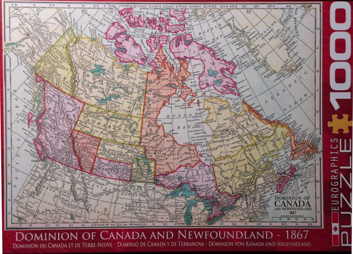
This vintage-style cartographic illustration depicts the Dominion of Canada and Newfoundland as it was mapped in 1867. The central focus is a detailed, historical political map showcasing the provinces and territories of the time, including districts like Athabaska, Assiniboia, and the expansive Northwest Territories. The map is overlaid with a classic grid of longitudinal and latitudinal lines, providing a sense of historical navigation and precision.
The aesthetic follows the conventions of 19th-century geography, utilizing a muted pastel colour palette to differentiate administrative regions. Provinces are shaded in soft pinks, yellows, light greens, and tans, contrasted against the pale cream background of the landmass. Bodies of water, such as the Hudson Bay, Great Lakes, and surrounding oceans, are rendered in a light, neutral tone. The text is presented in a refined serif typeface, with labels identifying cities, rivers, lakes, and coastal features throughout the North American continent.
Compositionally, the map is framed by coordinate markers along the outer borders, which include numerical indicators for degrees. The lower right quadrant features a formal title block reading "Dominion of Canada and Newfoundland 1867," accompanied by a scale bar measured in English statute miles. The overall style is reminiscent of an aged classroom wall map or an entry from a historical atlas, prioritizing clarity and traditional topographical documentation over modern graphical flair.
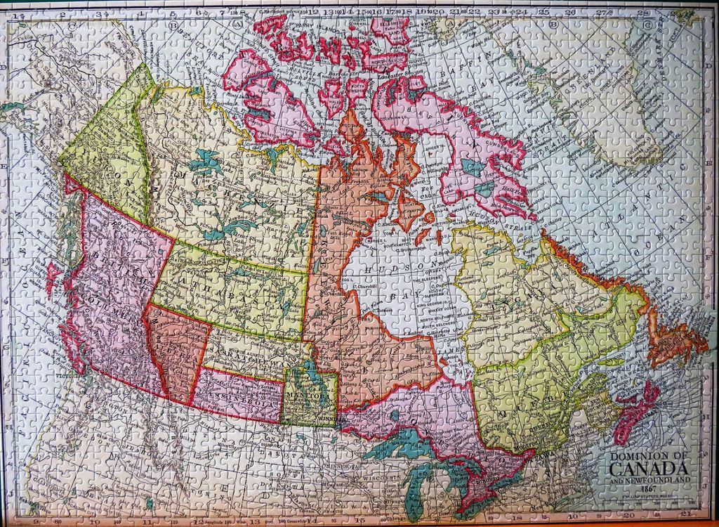
This is a vintage-style historical map depicting the Dominion of Canada and Newfoundland as it was organized in 1867. The map focuses on the North American continent, capturing the early political boundaries of the Canadian provinces and territories, including historical regions like Athabasca and Assiniboia. A grid system with letters along the vertical edges and numbers along the horizontal edges frames the cartographic layout, referencing longitudinal and latitudinal coordinates.
The map uses a soft, muted colour palette to distinguish between different political territories. The regions are shaded in varying tones of pale pink, light green, soft yellow, and beige, with distinct outlines defining the borders. The surrounding oceans and bodies of water are rendered in a light, neutral grey, keeping the visual focus squarely on the landmass. Typography is classic and elegant, featuring serif fonts for major labels and finer, smaller print for towns, geographical features, and waterways.
The overall aesthetic is that of an antique document or an old-school educational classroom wall map. Light, fine lines trace the coastal regions and internal borders, contributing to a high level of detail despite the aged appearance. In the bottom right corner, a title block clearly labels the work as the "Dominion of Canada and Newfoundland 1867." The composition is balanced and scholarly, presenting a precise geographical record of a significant era in North American history.
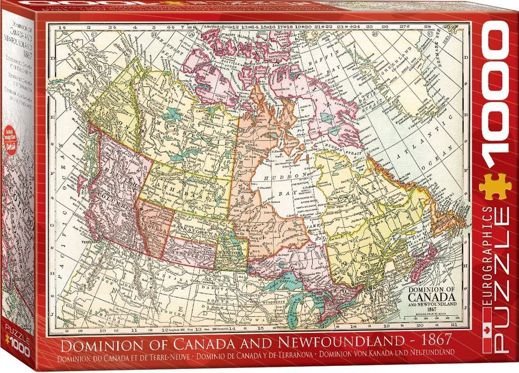
This illustration depicts a historical map titled Dominion of Canada and Newfoundland 1867. The map shows the geographic boundaries of the region during the mid-19th century, featuring various provinces and territories such as British Columbia, Athabasca, Saskatchewan, Manitoba, and Quebec. The map is set against a grid coordinate system, with labels identifying oceans, bays, and neighboring territories.
The aesthetic is that of an aged, vintage parchment document. The color palette is muted and classic, utilizing soft washes of pale yellow, pink, and olive green to delineate different political regions against a creamy, off-white background. Thin black lines are used for borders, coastlines, and intricate text, giving the work a refined, scholarly appearance common to 19th-century cartography.
Detail is abundant, with numerous place names, coastal features, and political labels printed in clear, serif fonts. The composition is centered and balanced, framing the vast northern landscape clearly within the grid. The overall atmosphere is educational and nostalgic, evoking the era of exploration and nation-building through the precise, utilitarian art style of Victorian-era mapmaking.
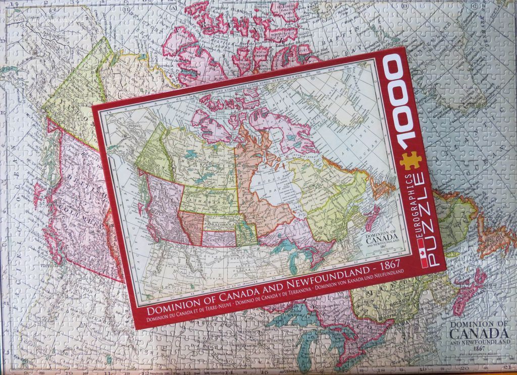
by Brenda Dobson 2024-01-09
