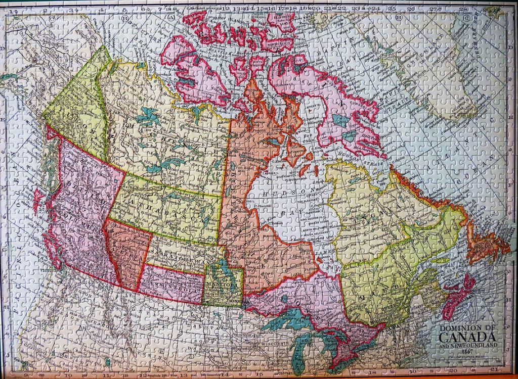
This is a vintage-style historical map depicting the Dominion of Canada and Newfoundland as it was organized in 1867. The map focuses on the North American continent, capturing the early political boundaries of the Canadian provinces and territories, including historical regions like Athabasca and Assiniboia. A grid system with letters along the vertical edges and numbers along the horizontal edges frames the cartographic layout, referencing longitudinal and latitudinal coordinates.
The map uses a soft, muted colour palette to distinguish between different political territories. The regions are shaded in varying tones of pale pink, light green, soft yellow, and beige, with distinct outlines defining the borders. The surrounding oceans and bodies of water are rendered in a light, neutral grey, keeping the visual focus squarely on the landmass. Typography is classic and elegant, featuring serif fonts for major labels and finer, smaller print for towns, geographical features, and waterways.
The overall aesthetic is that of an antique document or an old-school educational classroom wall map. Light, fine lines trace the coastal regions and internal borders, contributing to a high level of detail despite the aged appearance. In the bottom right corner, a title block clearly labels the work as the "Dominion of Canada and Newfoundland 1867." The composition is balanced and scholarly, presenting a precise geographical record of a significant era in North American history.