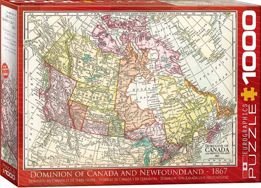
This illustration depicts a historical map titled Dominion of Canada and Newfoundland 1867. The map shows the geographic boundaries of the region during the mid-19th century, featuring various provinces and territories such as British Columbia, Athabasca, Saskatchewan, Manitoba, and Quebec. The map is set against a grid coordinate system, with labels identifying oceans, bays, and neighboring territories.
The aesthetic is that of an aged, vintage parchment document. The color palette is muted and classic, utilizing soft washes of pale yellow, pink, and olive green to delineate different political regions against a creamy, off-white background. Thin black lines are used for borders, coastlines, and intricate text, giving the work a refined, scholarly appearance common to 19th-century cartography.
Detail is abundant, with numerous place names, coastal features, and political labels printed in clear, serif fonts. The composition is centered and balanced, framing the vast northern landscape clearly within the grid. The overall atmosphere is educational and nostalgic, evoking the era of exploration and nation-building through the precise, utilitarian art style of Victorian-era mapmaking.