I Love Killington-Pico
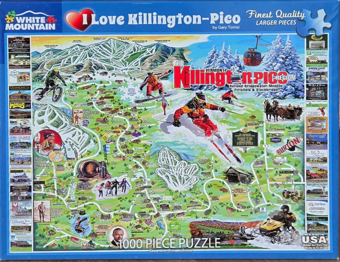
This illustration depicts a vibrant, stylized pictorial map of the Killington and Pico region in Vermont. The composition is dominated by snow-covered mountain peaks and winding ski trails that serve as the background for various winter activities. Central to the scene are dynamic figures of individuals engaged in mountain sports, including a central skier in a red jacket carving down a slope, a snowboarder catching air, and a mountain biker navigating a trail to the left. The scene is dotted with small, whimsical illustrations of local landmarks, covered bridges, and recreational areas, creating a busy and immersive landscape.
Surrounding the central mountainous map are vertical columns of small inset photographs depicting various local businesses, lodges, and restaurants, framed by the blue borders of the overall image. The artistic style is reminiscent of traditional trail maps, blending cartoon-like renderings with topographical elements. The color palette is bright and diverse, featuring crisp whites for snow, earthy greens for the lower forested areas, and deep blues for the sky and peripheral borders. A prominent red gondola car is suspended near the mountain peaks, adding a pop of color against the snowy backdrop. The overall mood is energetic and celebratory, capturing the bustling atmosphere of a popular winter vacation destination.

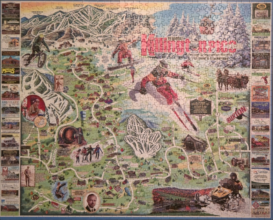
This detailed pictorial map showcases the Killington region in Vermont, centered on a sprawling network of mountain ski trails and winding roads. Dominating the illustration are stylized depictions of winter sports enthusiasts, including a prominent skier carving through the center and a snowboarder leaping into the air. The terrain is rendered in soft, hilly greens and topographical trail markings, contrasting with the stark white of the snowy peaks and ski lifts.
Surrounding the central map are decorative borders comprised of small, framed vignettes. These panels highlight various local businesses, historical landmarks, and regional attractions, each providing a snapshot of the town's character. The overall composition balances geographic information with artistic flair, incorporating labels for towns like Rutland, Bridgewater, and Mendon, alongside specific local roads and points of interest that define the area.
The colour palette is earthy and seasonal, relying on forest greens for the landscape and cool blues for the mountain ridges, accented by the bold reds and oranges of the active figures. The light has a bright, daytime quality that emphasizes the recreational spirit of the scene. The illustration style is traditional and nostalgic, reminiscent of a vintage souvenir map, blending cartography with anecdotal drawings of people, wildlife, and cozy architecture.
