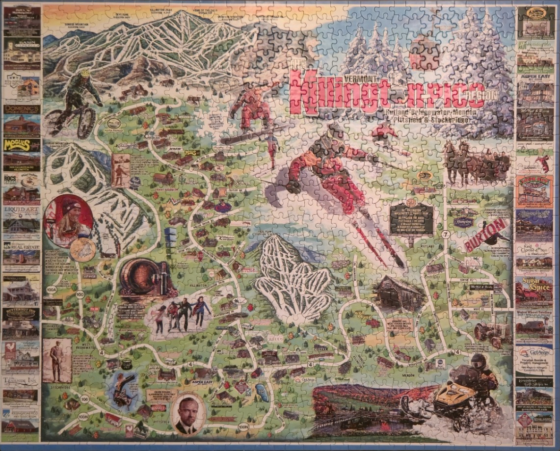
This detailed pictorial map showcases the Killington region in Vermont, centered on a sprawling network of mountain ski trails and winding roads. Dominating the illustration are stylized depictions of winter sports enthusiasts, including a prominent skier carving through the center and a snowboarder leaping into the air. The terrain is rendered in soft, hilly greens and topographical trail markings, contrasting with the stark white of the snowy peaks and ski lifts.
Surrounding the central map are decorative borders comprised of small, framed vignettes. These panels highlight various local businesses, historical landmarks, and regional attractions, each providing a snapshot of the town's character. The overall composition balances geographic information with artistic flair, incorporating labels for towns like Rutland, Bridgewater, and Mendon, alongside specific local roads and points of interest that define the area.
The colour palette is earthy and seasonal, relying on forest greens for the landscape and cool blues for the mountain ridges, accented by the bold reds and oranges of the active figures. The light has a bright, daytime quality that emphasizes the recreational spirit of the scene. The illustration style is traditional and nostalgic, reminiscent of a vintage souvenir map, blending cartography with anecdotal drawings of people, wildlife, and cozy architecture.