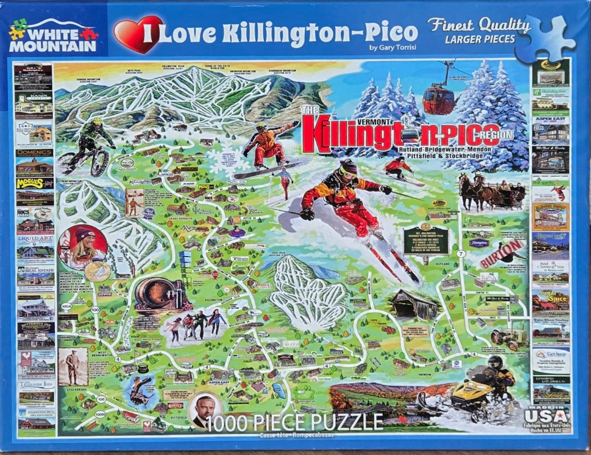
This illustration depicts a vibrant, stylized pictorial map of the Killington and Pico region in Vermont. The composition is dominated by snow-covered mountain peaks and winding ski trails that serve as the background for various winter activities. Central to the scene are dynamic figures of individuals engaged in mountain sports, including a central skier in a red jacket carving down a slope, a snowboarder catching air, and a mountain biker navigating a trail to the left. The scene is dotted with small, whimsical illustrations of local landmarks, covered bridges, and recreational areas, creating a busy and immersive landscape.
Surrounding the central mountainous map are vertical columns of small inset photographs depicting various local businesses, lodges, and restaurants, framed by the blue borders of the overall image. The artistic style is reminiscent of traditional trail maps, blending cartoon-like renderings with topographical elements. The color palette is bright and diverse, featuring crisp whites for snow, earthy greens for the lower forested areas, and deep blues for the sky and peripheral borders. A prominent red gondola car is suspended near the mountain peaks, adding a pop of color against the snowy backdrop. The overall mood is energetic and celebratory, capturing the bustling atmosphere of a popular winter vacation destination.