Map of the Dominion of Canada
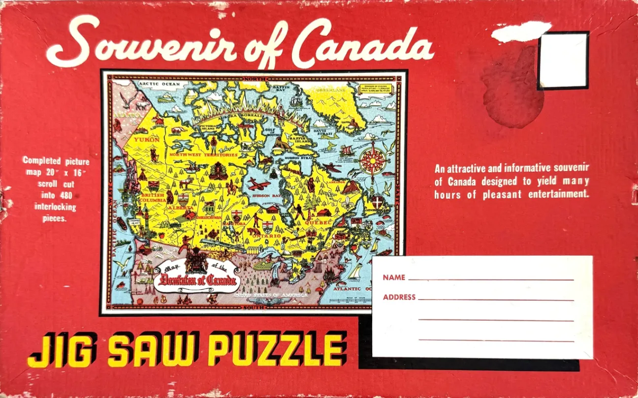
The central image is a colorful, illustrated pictorial map of Canada, presented on a bright, vintage red background reminiscent of a mailing envelope. The map itself features a pastel color palette—mostly yellow for the landmasses and pale blue for the oceans—enclosed within a dark, intricate border. A large, decorative title "Map of the Dominion of Canada" appears in the lower-left section of the cartographic area, while a traditional compass rose is positioned in the upper-right corner of the map.
The artwork is densely packed with illustrations reflecting the regional culture, geography, and economy of the country. Small drawings scattered throughout the provinces include depictions of indigenous wildlife, mountains, pine forests, transport planes, ships, agricultural scenes, and local monuments or heraldry. Each province is clearly labeled in a stylized font, and the map provides a charming, mid-century perspective on the nation's identity through these whimsical vignettes.
The surrounding red background mimics the layout of a vintage post-card or letter. In the upper-right corner, there is a white rectangle suggesting a postage stamp area, and in the lower-right corner, a white space is provided with lines for "Name" and "Address," suggesting the item was meant to be mailed. The overall aesthetic is rustic and nostalgic, with bold, blocky typography and weathered textures indicating age and history.

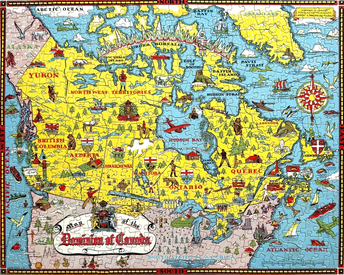
This vintage-style illustrated map depicts the Dominion of Canada, laid out in a decorative and cartographic manner. The map highlights the various provinces and territories with bright yellow landmasses set against a light blue backdrop representing the surrounding oceans, bays, and arctic waters. The borders are framed with compass-themed designs labeled with cardinal directions.
Throughout the map, numerous hand-drawn vignettes provide cultural and geographical context. These include illustrations of indigenous wildlife such as polar bears, walruses, and moose, as well as historical figures like Mounties, prospectors, and explorers. Regional coats of arms, small ships, aircraft, and architectural landmarks are scattered across the provinces, reflecting a mid-20th-century artistic aesthetic typical of commemorative map prints.
A large, ornate title banner sits in the lower-left corner reading "Map of the Dominion of Canada," accompanied by the national coat of arms. The color palette is primary and cheery, utilizing bold yellows for the land, soft blues for the water, and touches of green and brown for foliage and geographical terrain. Thin red lines delineate provincial boundaries, and the overall composition is stylized, emphasizing charm and historical narrative over strict geographical accuracy.
I'm not generally a fan of map puzzles, but that didn't detract from the delightful puzzling experience of this vintage puzzle. No glare, lovely feel, crisp image (despite what was on the box, thank goodness), and the pieces fit together beautifully with no false fits. It was in superb condition, just missing one piece and three pieces had tiny bits broken off (Amazingly, they were all in the box; I popped them in as they came up). Some of the connections are so thin, I'm surprised there weren't more broken pieces.
by LakeBird 2026-04-14
