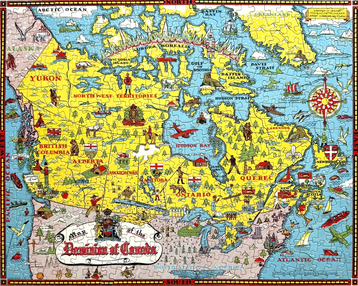
This vintage-style illustrated map depicts the Dominion of Canada, laid out in a decorative and cartographic manner. The map highlights the various provinces and territories with bright yellow landmasses set against a light blue backdrop representing the surrounding oceans, bays, and arctic waters. The borders are framed with compass-themed designs labeled with cardinal directions.
Throughout the map, numerous hand-drawn vignettes provide cultural and geographical context. These include illustrations of indigenous wildlife such as polar bears, walruses, and moose, as well as historical figures like Mounties, prospectors, and explorers. Regional coats of arms, small ships, aircraft, and architectural landmarks are scattered across the provinces, reflecting a mid-20th-century artistic aesthetic typical of commemorative map prints.
A large, ornate title banner sits in the lower-left corner reading "Map of the Dominion of Canada," accompanied by the national coat of arms. The color palette is primary and cheery, utilizing bold yellows for the land, soft blues for the water, and touches of green and brown for foliage and geographical terrain. Thin red lines delineate provincial boundaries, and the overall composition is stylized, emphasizing charm and historical narrative over strict geographical accuracy.