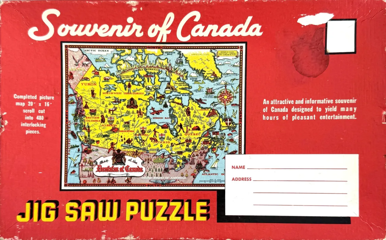
The central image is a colorful, illustrated pictorial map of Canada, presented on a bright, vintage red background reminiscent of a mailing envelope. The map itself features a pastel color palette—mostly yellow for the landmasses and pale blue for the oceans—enclosed within a dark, intricate border. A large, decorative title "Map of the Dominion of Canada" appears in the lower-left section of the cartographic area, while a traditional compass rose is positioned in the upper-right corner of the map.
The artwork is densely packed with illustrations reflecting the regional culture, geography, and economy of the country. Small drawings scattered throughout the provinces include depictions of indigenous wildlife, mountains, pine forests, transport planes, ships, agricultural scenes, and local monuments or heraldry. Each province is clearly labeled in a stylized font, and the map provides a charming, mid-century perspective on the nation's identity through these whimsical vignettes.
The surrounding red background mimics the layout of a vintage post-card or letter. In the upper-right corner, there is a white rectangle suggesting a postage stamp area, and in the lower-right corner, a white space is provided with lines for "Name" and "Address," suggesting the item was meant to be mailed. The overall aesthetic is rustic and nostalgic, with bold, blocky typography and weathered textures indicating age and history.