The Earth
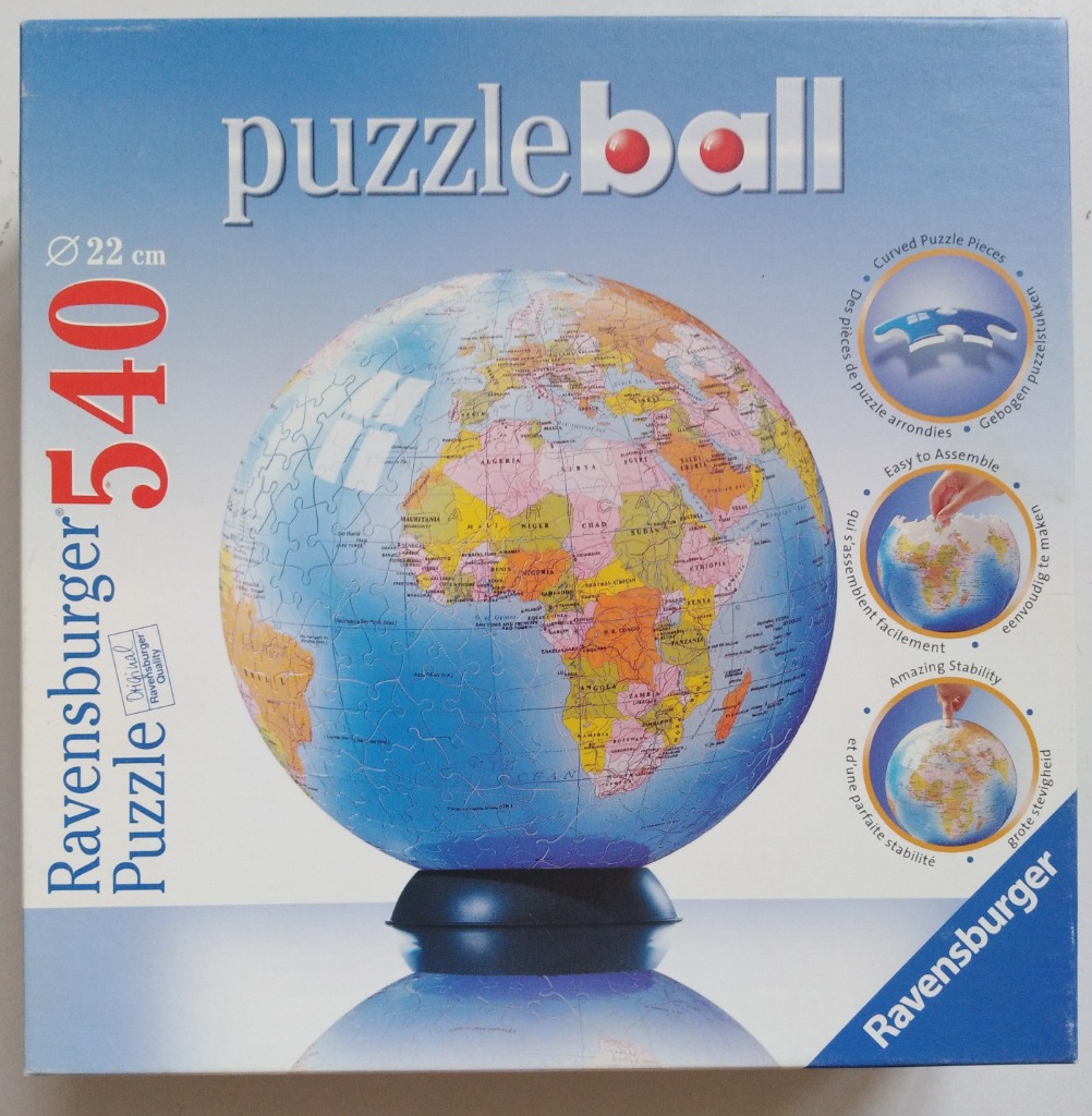
The central focus of this image is a spherical world globe featuring a classic cartographic design. The globe is rendered in traditional map colours, with landmasses depicted in shades of yellow, pink, and orange, contrasting against the vast, deep blue of the oceans. The globe is mounted on a simple, dark circular stand, and its spherical form highlights the rounded, interlocking shapes of the individual components used to construct it. A faint reflection of the globe is visible on the surface below, suggesting it is resting on a smooth, reflective plane.
Set against a solid, light blue background, the composition is clear and educational. The surface of the globe includes detailed text identifying continents, countries, and major bodies of water, maintaining the style of a standard geographic reference. The overall aesthetic is one of a clean, academic, and scientific model. The globe appears to be constructed from physical segments, with fine, curved lines visible across the surface, indicating the seams of the individual pieces that form the spherical structure.

This image displays a spherical globe, centered on the continent of Africa. The globe sits upon a simple, dark blue circular base. The continents are rendered in a traditional map style, featuring distinct political borders and labels for various countries and major cities across the African landscape. Surrounding the landmass is a deep blue expanse representing the ocean, which fills the remainder of the sphere.
Physically, the globe follows a standard cartographic layout. Northern Africa, including the Mediterranean coast and parts of the Middle East, is visible towards the top, while the southern tip of the continent extends towards the bottom center. The Indian Ocean region is visible to the east, showing the island of Madagascar and smaller island nations. The typography is clear and standard, typical of a educational world map, with names like Nigeria, D.R. Congo, and South Africa easily identifiable.
The colour palette is varied and classic for a map, using a mix of muted pastels—including soft greens, pinks, yellows, and oranges—to demarcate different sovereign states. These colors contrast sharply against the bright blue of the surrounding seas. The light is even and neutral, suggesting a studio-style setting that highlights the rounded three-dimensional form of the globe. The perspective is head-on, focusing the viewer entirely on the geographical representation of the African continent.
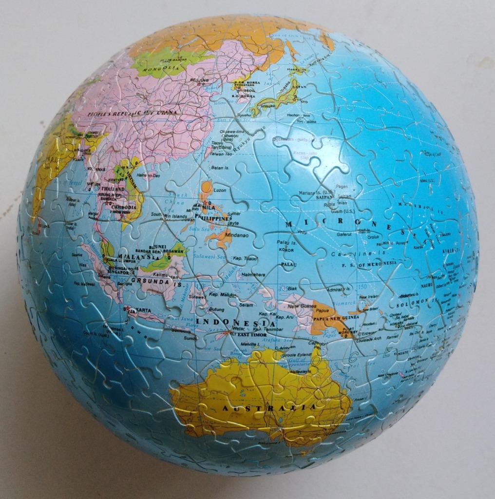
This image displays a spherical globe focusing on the region spanning from Southeast Asia to Australia and the vast Pacific Ocean. The view centers on the South China Sea, the Indonesian archipelago, and the neighboring island nations of Micronesia, with the large continent of Australia occupying the lower portion of the sphere.
The map uses a classic cartographic color scheme where landmasses are rendered in distinct, muted pastel shades of pink, yellow, and orange to differentiate sovereign territories. This contrasts sharply with the deep, solid blue representing the surrounding seas and oceans. Fine black lines delineate national borders, and clear, legible sans-serif text labels countries, major cities, and bodies of water.
The globe is set against a plain, neutral background, emphasizing its rounded, three-dimensional form. The lighting is even and soft, providing a clear view of the geographic details without distracting shadows or glare. The overall aesthetic is that of a professional educational map, presented in a clean and accessible format that highlights the spatial relationship between the Asian mainland and the island chains of the Pacific.
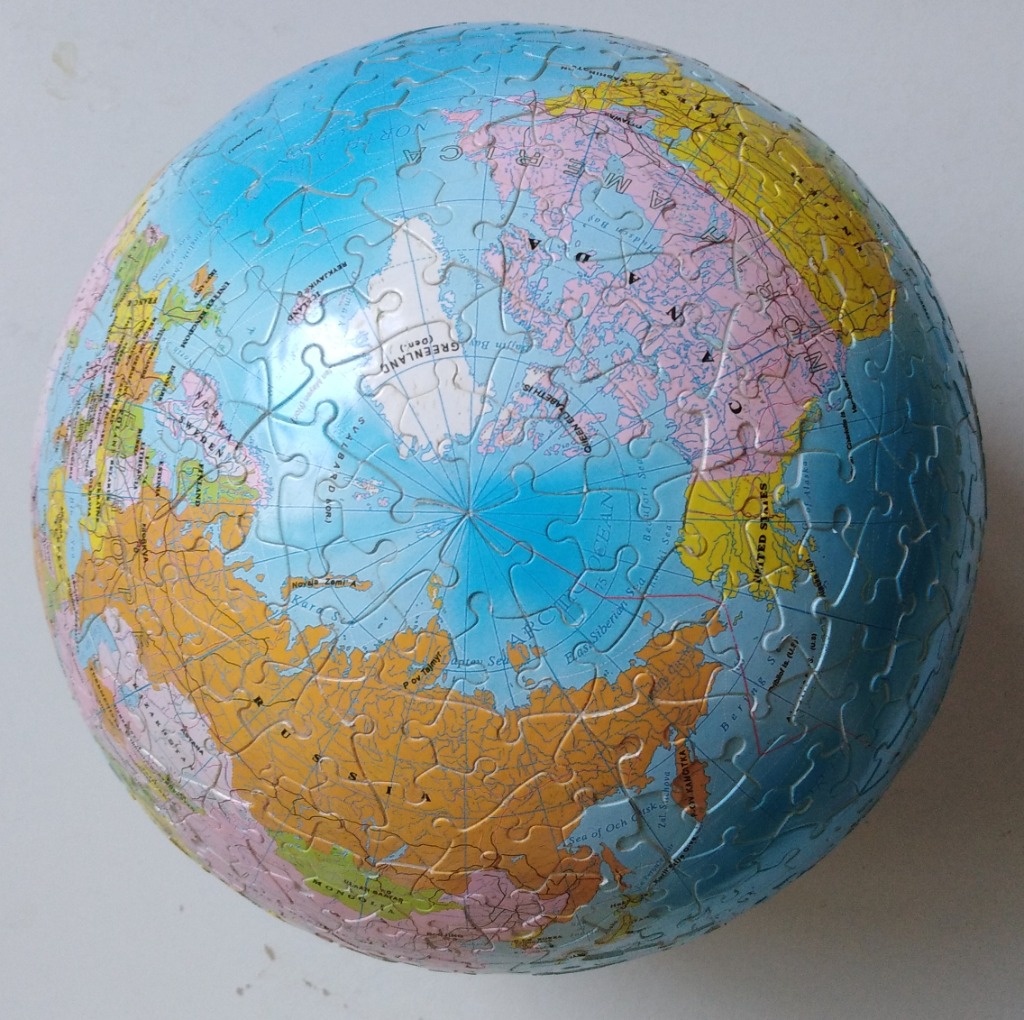
This image displays a three-dimensional spherical globe focused on the Arctic Ocean and the surrounding northern continents. The North Pole is positioned at the very centre of the sphere, surrounded by the icy white expanse of the Arctic. Radiating outwards from this central point, the landmasses of North America, Europe, and Asia are clearly visible, rendered in distinct pastel and vibrant tones that define various political territories.
The colour palette is primarily composed of light blues for the vast ocean areas, contrasted against earthy yellow, soft pink, and muted green landmasses. Black text provides clear labels for nations, territories, and key geographic features such as seas and bays. Longitudinal lines converge at the North Pole, giving the sphere a precise, cartographic quality.
Due to the spherical shape, the edges of the image appear slightly distorted or dimmed, emphasizing the curvature of the world. The lighting is relatively even, casting a subtle highlight near the top-centre, which enhances the round, orb-like appearance of the globe. This represents a modern educational map design, blending functional geographic detail with an artistic, compact representation of the northern hemisphere.