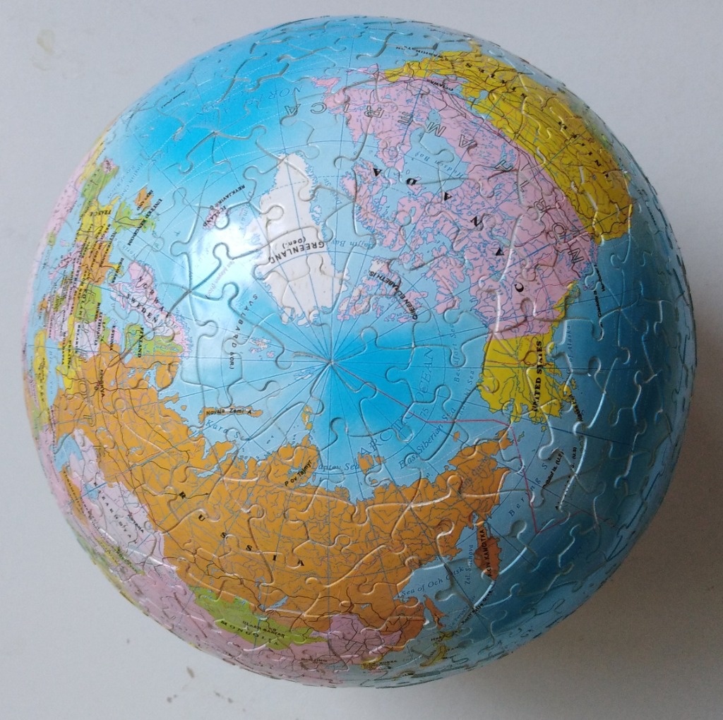
This image displays a three-dimensional spherical globe focused on the Arctic Ocean and the surrounding northern continents. The North Pole is positioned at the very centre of the sphere, surrounded by the icy white expanse of the Arctic. Radiating outwards from this central point, the landmasses of North America, Europe, and Asia are clearly visible, rendered in distinct pastel and vibrant tones that define various political territories.
The colour palette is primarily composed of light blues for the vast ocean areas, contrasted against earthy yellow, soft pink, and muted green landmasses. Black text provides clear labels for nations, territories, and key geographic features such as seas and bays. Longitudinal lines converge at the North Pole, giving the sphere a precise, cartographic quality.
Due to the spherical shape, the edges of the image appear slightly distorted or dimmed, emphasizing the curvature of the world. The lighting is relatively even, casting a subtle highlight near the top-centre, which enhances the round, orb-like appearance of the globe. This represents a modern educational map design, blending functional geographic detail with an artistic, compact representation of the northern hemisphere.