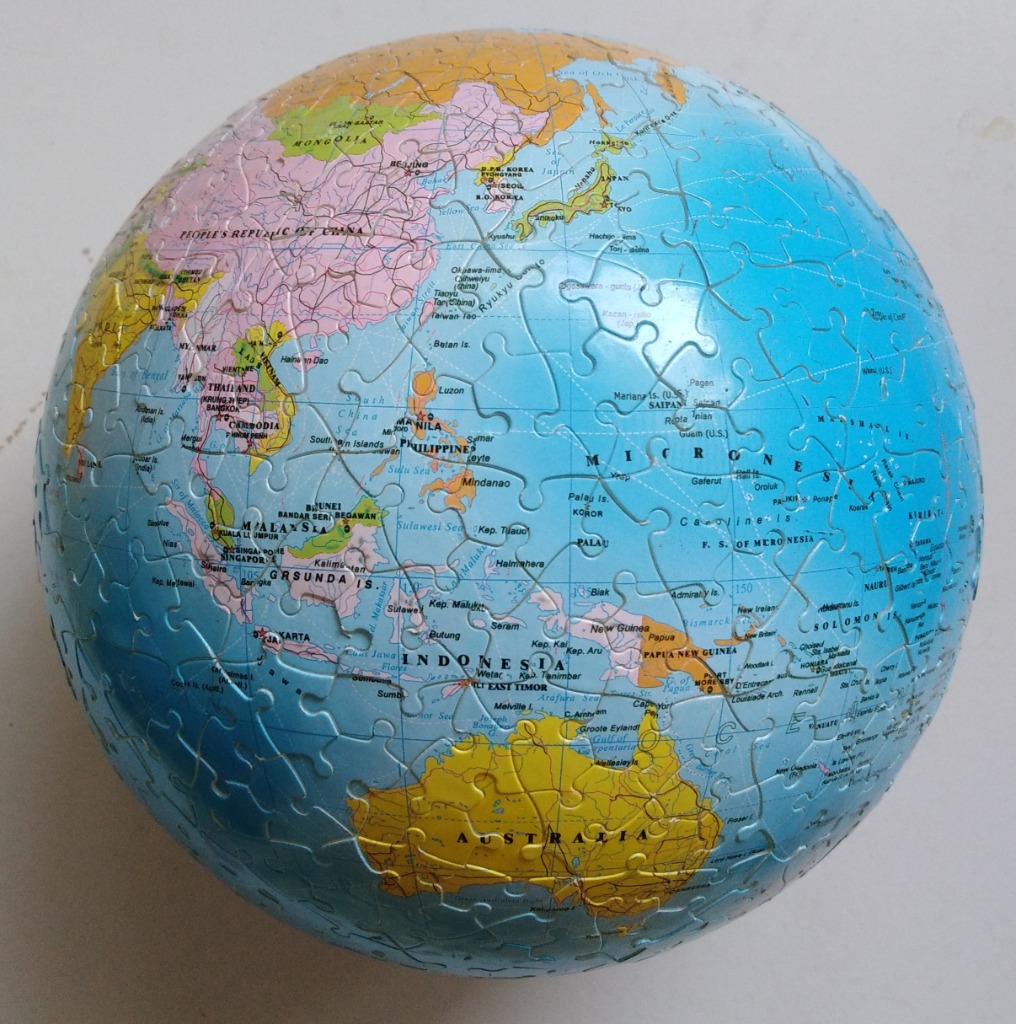
This image displays a spherical globe focusing on the region spanning from Southeast Asia to Australia and the vast Pacific Ocean. The view centers on the South China Sea, the Indonesian archipelago, and the neighboring island nations of Micronesia, with the large continent of Australia occupying the lower portion of the sphere.
The map uses a classic cartographic color scheme where landmasses are rendered in distinct, muted pastel shades of pink, yellow, and orange to differentiate sovereign territories. This contrasts sharply with the deep, solid blue representing the surrounding seas and oceans. Fine black lines delineate national borders, and clear, legible sans-serif text labels countries, major cities, and bodies of water.
The globe is set against a plain, neutral background, emphasizing its rounded, three-dimensional form. The lighting is even and soft, providing a clear view of the geographic details without distracting shadows or glare. The overall aesthetic is that of a professional educational map, presented in a clean and accessible format that highlights the spatial relationship between the Asian mainland and the island chains of the Pacific.