The world
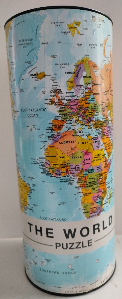
The image depicts a detailed political world map printed on a cylindrical surface. The central focus is the landmasses of Europe and Africa, rendered in a variety of bright, distinct colors to denote different national borders. Smaller details include island nations like Iceland and the British Isles, as well as the vast stretch of the North Atlantic Ocean.
Compositionally, the map is oriented vertically, extending from the northern regions of Greenland and the Norwegian Sea down to the Southern Ocean and a sliver of Antarctica at the base. Longitude and latitude grid lines overlay the pale blue oceans, providing a sense of scale and global positioning. The layout is informative and clear, with numerous city names, coastal features, and ocean names printed in a crisp, black sans-serif font.
The color palette is dominated by the cool, light blues of the water, which contrast sharply against the vibrant oranges, pinks, yellows, and greens of the continents. The overall aesthetic is that of a modern, clean cartographic illustration, designed for educational clarity. A horizontal band wraps around the lower-middle section, featuring the bold black text "THE WORLD PUZZLE" set against a white background, breaking up the continuous flow of the map. The lighting is even, highlighting the glossy, reflective texture of the cylindrical surface.
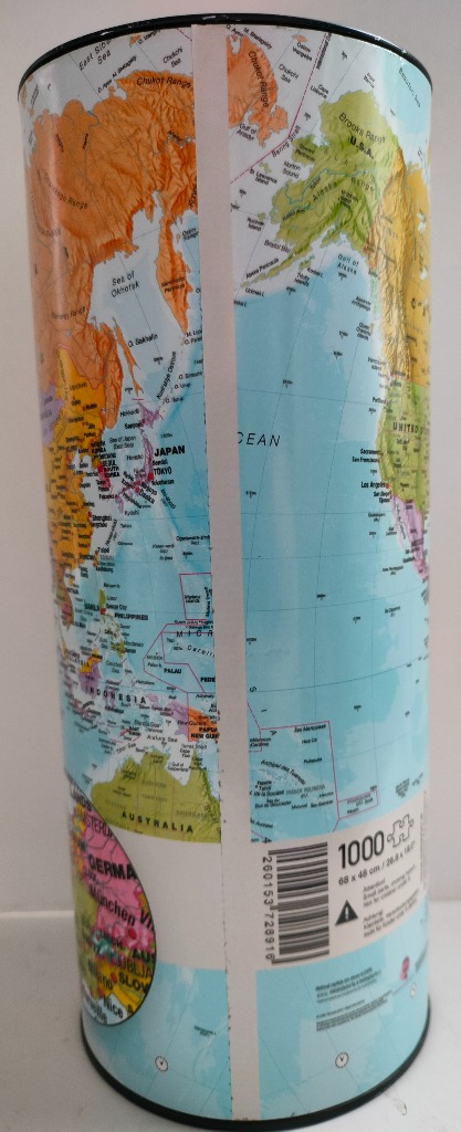
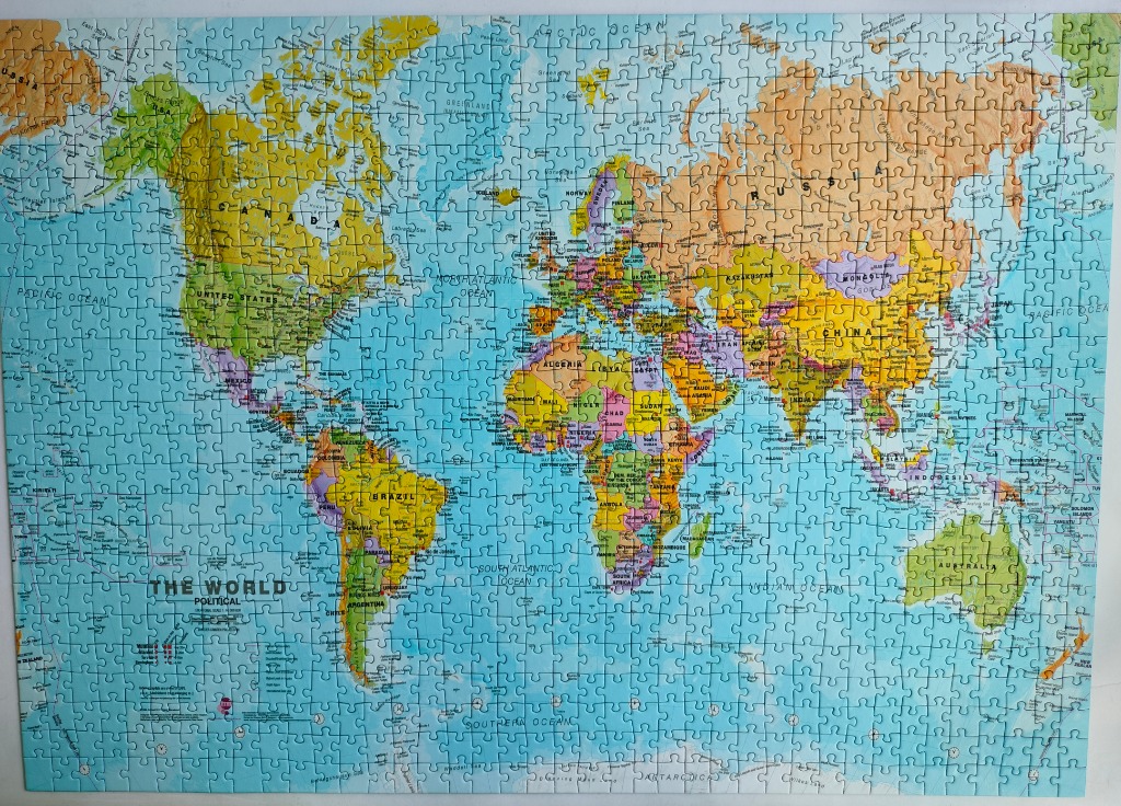
This image displays a detailed political world map, presented in a standard flat projection. The map features all the major continents and countries, clearly labeled with names of nations, major cities, and bodies of water. The formatting includes a large title in the bottom-left corner reading "THE WORLD POLITICAL," accompanied by a small scale bar.
Each continent is rendered in distinct, muted pastel tones, such as pale yellows, oranges, greens, purples, and pinks, allowing individual countries to stand out against one another. These landmasses are set against a vast, light cyan-blue ocean, which occupies the majority of the background space. The overall color palette is soft, functional, and consistent with traditional educational wall maps.
The composition is balanced, centering the continents while providing ample space for the surrounding oceans. The map follows a standard cartographic design, including latitude and longitude lines as well as clearly defined borders. The style is that of a classic, informative illustration, emphasizing readability and geographic accuracy rather than artistic interpretation or photographic realism.
Good quality. A bit loose fit.
by Quanjerpuzzles 2024-06-16
