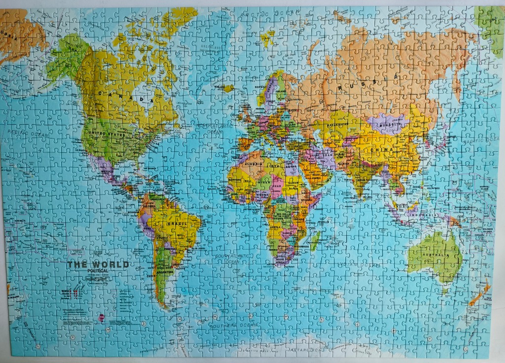
This image displays a detailed political world map, presented in a standard flat projection. The map features all the major continents and countries, clearly labeled with names of nations, major cities, and bodies of water. The formatting includes a large title in the bottom-left corner reading "THE WORLD POLITICAL," accompanied by a small scale bar.
Each continent is rendered in distinct, muted pastel tones, such as pale yellows, oranges, greens, purples, and pinks, allowing individual countries to stand out against one another. These landmasses are set against a vast, light cyan-blue ocean, which occupies the majority of the background space. The overall color palette is soft, functional, and consistent with traditional educational wall maps.
The composition is balanced, centering the continents while providing ample space for the surrounding oceans. The map follows a standard cartographic design, including latitude and longitude lines as well as clearly defined borders. The style is that of a classic, informative illustration, emphasizing readability and geographic accuracy rather than artistic interpretation or photographic realism.