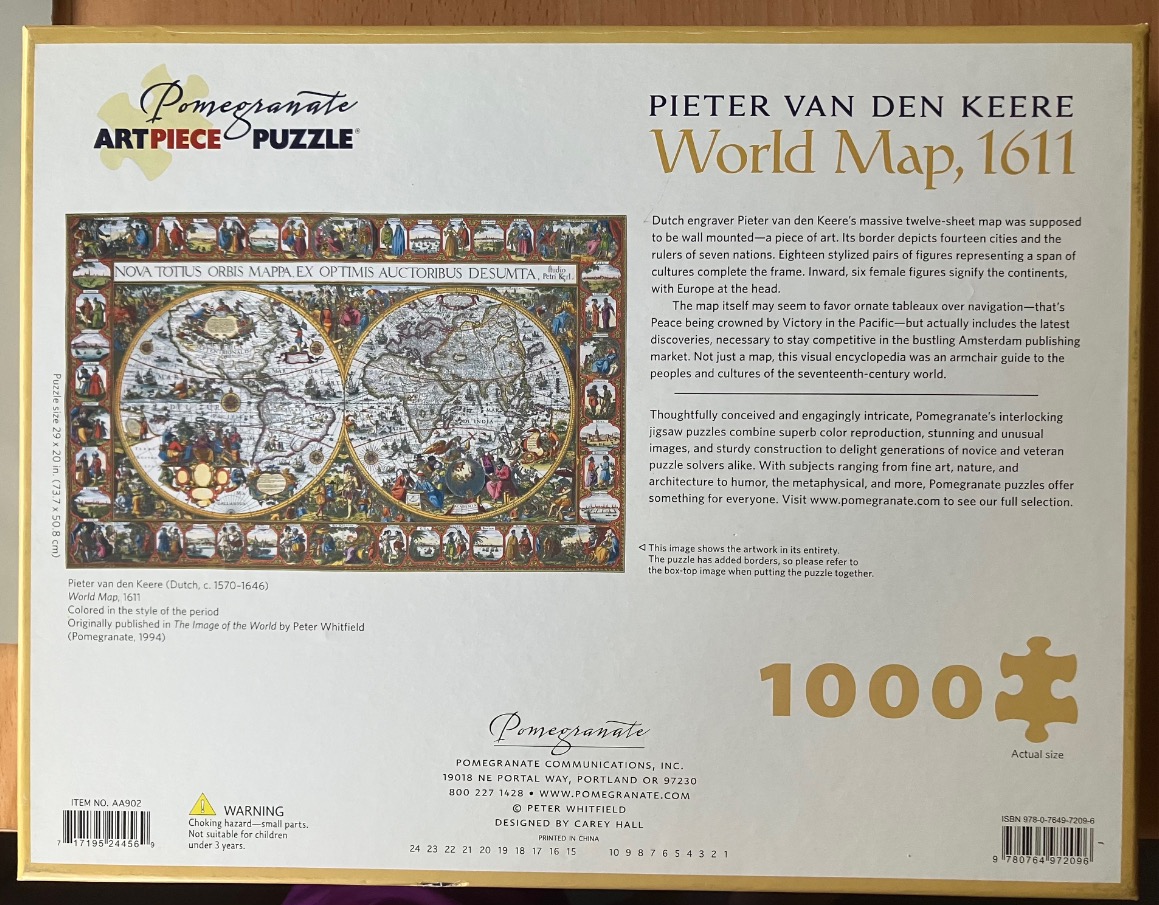
World Map 1611
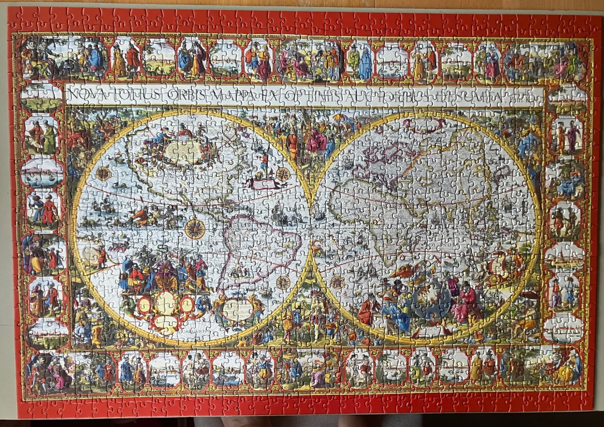
This antique-style world map features a double-hemisphere projection, capturing a classic 17th-century cartographic aesthetic. The central focus is the twin circular maps, which detail continents with stylized landmasses, scattered sea monsters, and miniature sailing ships. Above the hemispheres, large Latin text reads, "NOVA TOTIUS ORBIS MAPPA EX OPTIMIS LARTORIBUS DESUMTA."
Surrounding the central maps is a rich, decorative border composed of individual vignettes framed in ornate gold and cream scrollwork. These smaller panels illustrate diverse scenes, including local inhabitants in traditional attire from various regions, as well as panoramic views of historical cityscapes. The entire composition is encased within a bold, solid red outer frame that creates a striking contrast against the aged, cream-toned paper background of the map.
The overall colour palette is warm and saturated, dominated by the vibrant red of the border, deep golds, and the varied hues of the figures' clothing in the illustrations. The artistic style is reminiscent of copperplate engraving and hand-tinted illustrations common in early modern geographical atlases. The level of detail is high, with intricate linework defining the coastlines and the expressive gestures and features of the numerous small figures depicted throughout the border panels.
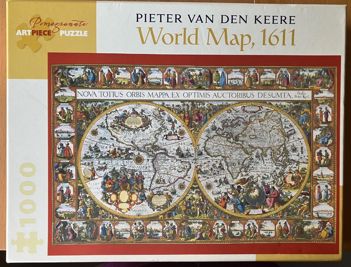
This historical cartographic artwork presents a 1611 world map featuring two large, detailed circular projections of the Eastern and Western Hemispheres. The map is filled with intricate topographical details, sailing ships navigating the oceans, and mythological sea creatures. Large text in Latin spans the top border, identifying the work as "NOVA TOTIUS ORBIS MAPPA, EX OPTIMIS AUCTORIBUS DESUMTA."
The composition is framed by a decorative border consisting of numerous small, rectangular vignettes. These panels depict diverse human figures in period attire, representative of various cultures and regions of the world, interspersed with small, scenic illustrations of major cities and landscapes. The central area between the two hemispheres and in the lower corners is adorned with ornate, gold-toned cartouches and mythological allegories.
The colour palette is rich and muted, dominated by parchment yellows, deep indigos, and weathered earthy tones. The illustration style is characteristic of early 17th-century copperplate engraving, showcasing precise, dense lines and sophisticated hatching techniques. The overall aesthetic is one of scholarly exploration and historical discovery, reflecting the artistic and geographical knowledge of the early seventeenth century.