United States Presidents
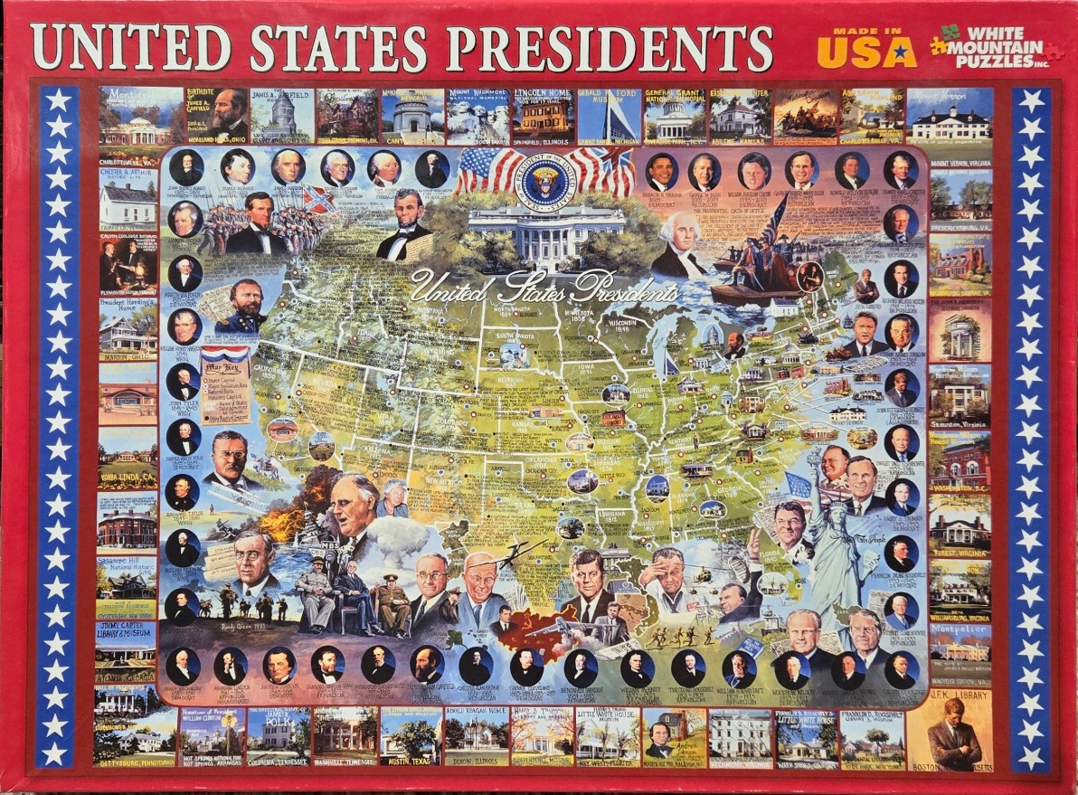
This montage features a central map of the United States populated with portraits of American presidents, historical scenes, and key landmarks. A large, detailed painting of the White House sits prominently in the upper center, topped by an American flag and the Presidential Seal. Throughout the map, various past presidents are depicted in both individual portraits and larger composite scenes, representing significant events from American history.
Surrounding the central map, vertical borders on the left and right sides are filled with a grid of smaller, square images showcasing various presidential birthplaces, homes, and historic museums. These images are framed by a repeating pattern of white stars on a blue background. The overall color palette is a patriotic mix of red, white, and blue, with the central map rendered in soft, earthy greens and yellows to distinguish states and regional geography.
The artwork is a busy, illustrative collage that blends cartography with historical portraiture. Light and shadow are used to give depth to the individual faces and buildings, creating a nostalgic, educational aesthetic. The design is framed by bold, red borders at the top and bottom, with the text "UNITED STATES PRESIDENTS" printed in large, white, serif letters across the top. The entire composition serves as a dense historical summary, layering geographic information with the visual legacy of the country’s leadership.


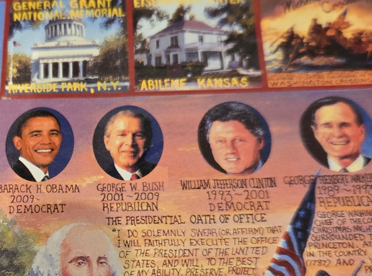
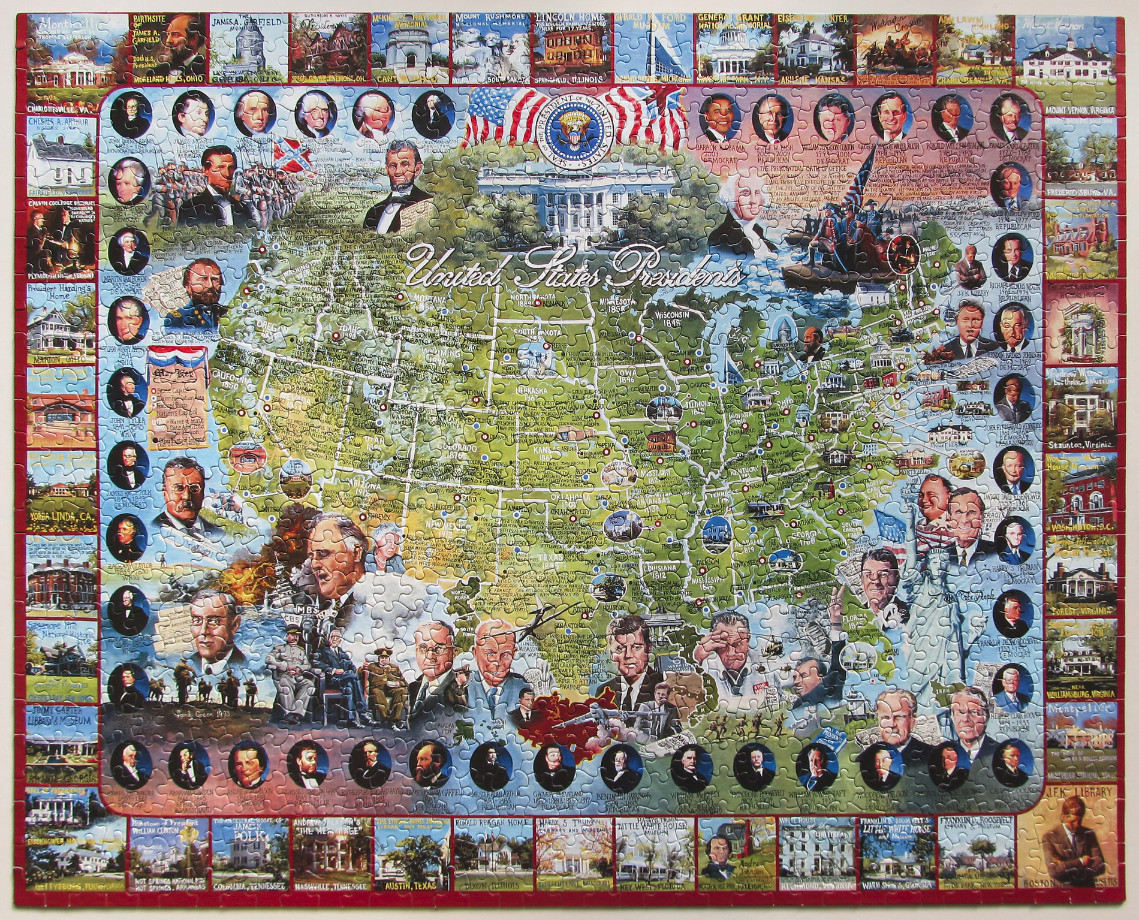
This educational illustration features a stylized map of the United States, serving as a backdrop for a comprehensive history of American presidencies. Centered at the top is a detailed depiction of the White House, flanked by the official Presidential Seal and draped American flags. The map itself is filled with historical vignettes, text detailing various terms of office, and state-specific information. The text includes the phrase "United States Presidents" in a flowing script across the map's center.
The composition is framed by a border of historical landmarks and homes associated with various presidents, such as Mount Vernon and various presidential birthplaces. Surrounding the map area are circular portrait vignettes of the U.S. presidents, organized chronologically to create a comprehensive gallery of leaders. These portraits are interspersed with significant historical imagery, including depictions of wartime scenes, the Statue of Liberty, and various cultural symbols of the American experience.
The colour palette is a blend of earthy tones for the map, contrasting with the patriotic red, white, and blue motifs present in the flags, the seal, and decorative accents. The style is that of a collage or a commemorative montage, blending cartographic elements with portraiture and historical painting. The overall effect is that of a dense, informative reference guide designed to celebrate the history of the executive office of the United States.
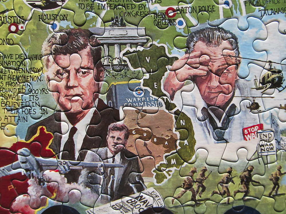
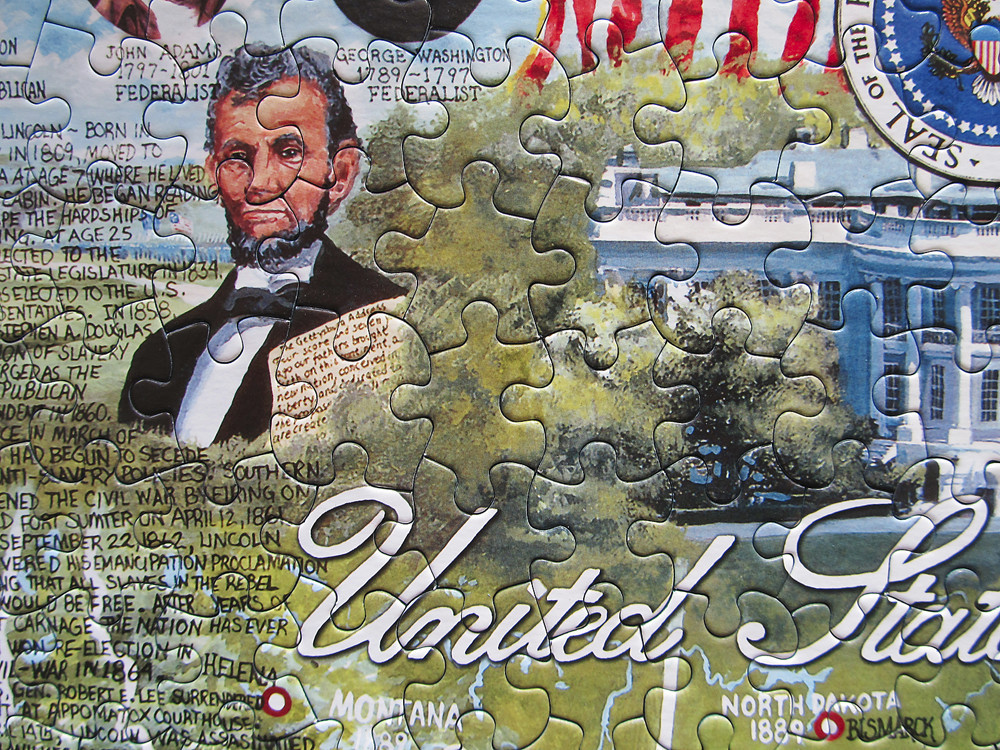
Fun boarders, learned a little history. Lots of portraits which was a bit of a grind. Probably wont return to it.
by Jim Poleshuk 2026-03-18
