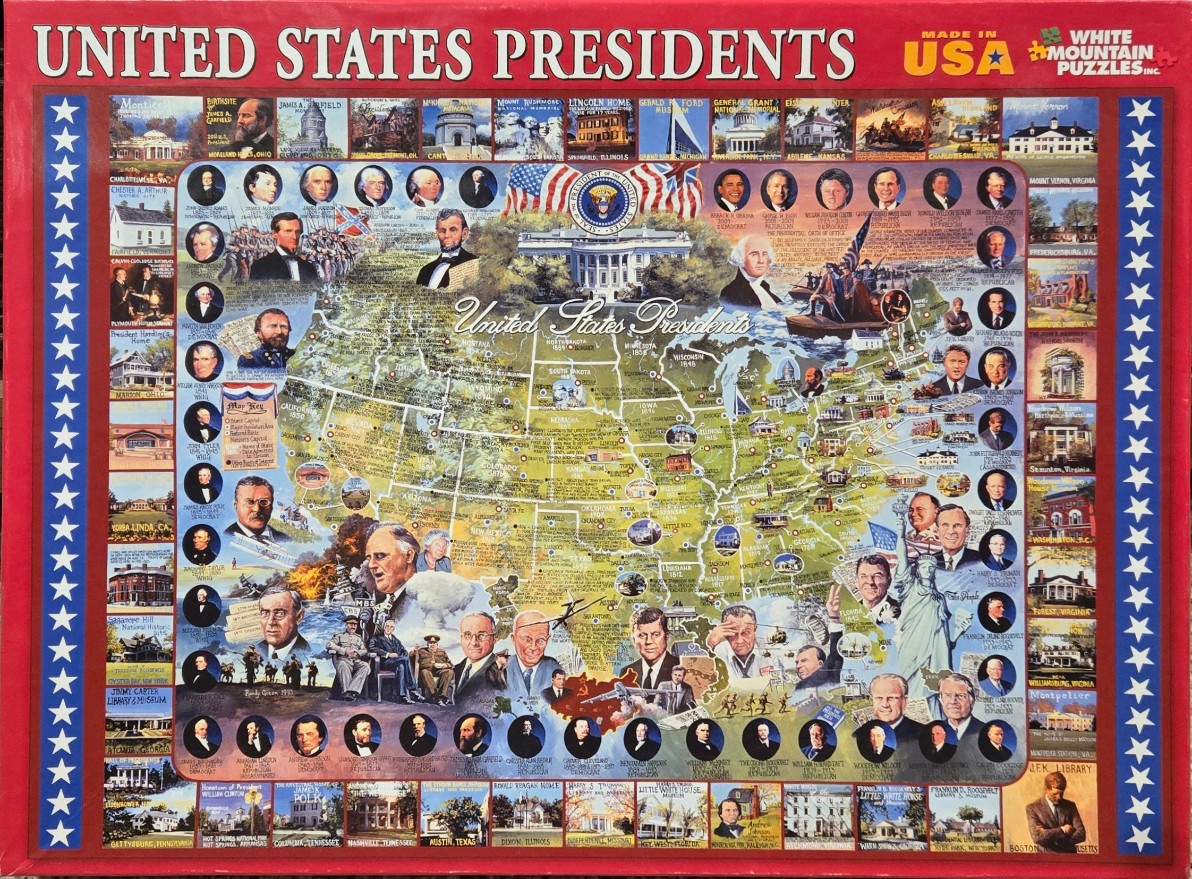
This montage features a central map of the United States populated with portraits of American presidents, historical scenes, and key landmarks. A large, detailed painting of the White House sits prominently in the upper center, topped by an American flag and the Presidential Seal. Throughout the map, various past presidents are depicted in both individual portraits and larger composite scenes, representing significant events from American history.
Surrounding the central map, vertical borders on the left and right sides are filled with a grid of smaller, square images showcasing various presidential birthplaces, homes, and historic museums. These images are framed by a repeating pattern of white stars on a blue background. The overall color palette is a patriotic mix of red, white, and blue, with the central map rendered in soft, earthy greens and yellows to distinguish states and regional geography.
The artwork is a busy, illustrative collage that blends cartography with historical portraiture. Light and shadow are used to give depth to the individual faces and buildings, creating a nostalgic, educational aesthetic. The design is framed by bold, red borders at the top and bottom, with the text "UNITED STATES PRESIDENTS" printed in large, white, serif letters across the top. The entire composition serves as a dense historical summary, layering geographic information with the visual legacy of the country’s leadership.