My Puzzle New York City
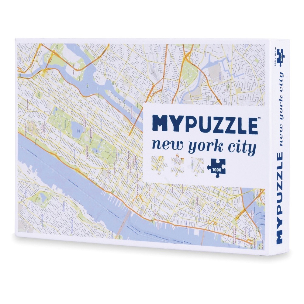
The image features a detailed cartographic map of New York City, presented as a top-down view. The layout focuses on the island of Manhattan, with the Hudson and East Rivers depicted in a soft periwinkle blue. The city streets are laid out in a complex, high-density grid pattern, with major highways and arterial roads highlighted in vibrant orange lines to provide contrast against the delicate, pale grey street network.
Green spaces, including the expansive rectangular form of Central Park, are rendered in muted, light-toned hues, breaking up the dense urban texture. The overall composition is clean and minimalist, characteristic of a contemporary map illustration. The visual information is precise, showcasing a functional representation of the city's geography and infrastructure.
Light and colour are used sparingly to ensure readability, with the soft blue and neutral white creating a bright, airy aesthetic. The orange lines guide the eye across the map, emphasizing the main traffic corridors. The image is a clear, informative graphic illustration that prioritizes geographical accuracy and clean design over artistic embellishment, making it a functional reference tool for navigating the metropolitan area.
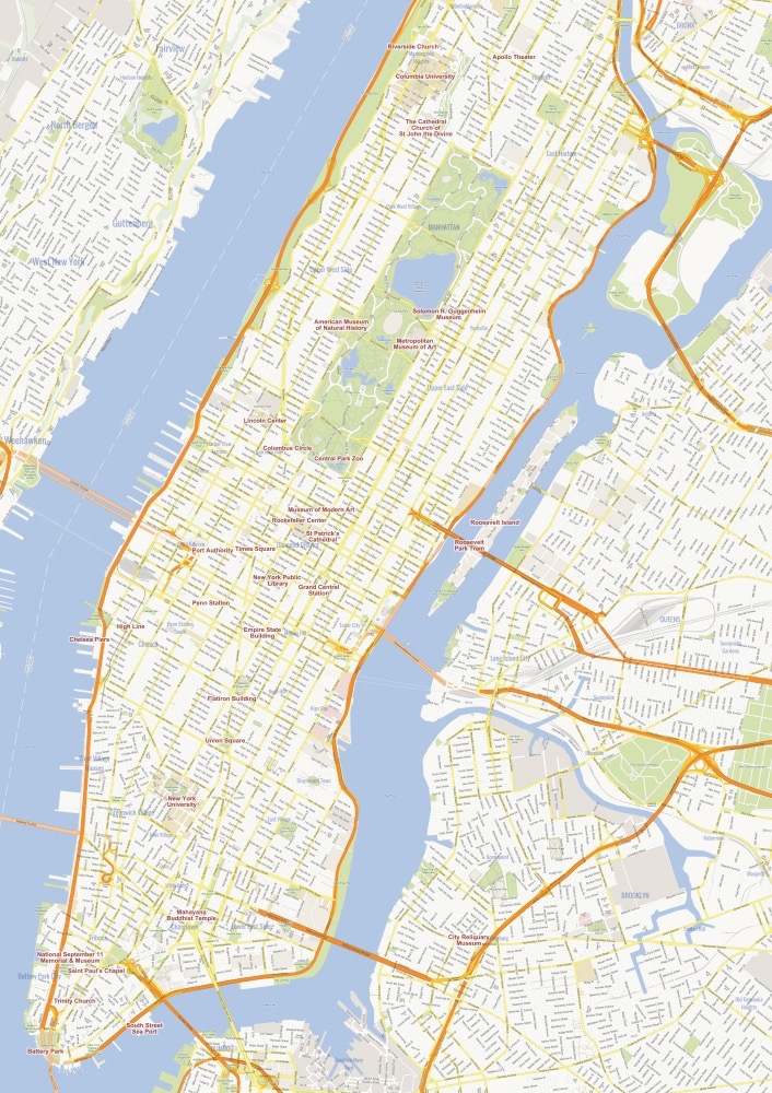
This illustration provides a detailed, top-down map view of Manhattan, with parts of the Bronx, Queens, and Brooklyn visible across the surrounding waterways. The composition is centered on the elongated island of Manhattan, with the Hudson River to the west and the East River to the east, colored in a muted, desaturated blue. The surrounding landmasses appear in shades of off-white and pale cream, while major highways and thoroughfares are highlighted in a bright, warm orange color.
The map is densely packed with a grid of city streets depicted in fine, dark grey lines. Notable green spaces, such as Central Park, are rendered in a light, soft green, creating a clear focal point within the dense urban fabric. Text labels identify major landmarks, museums, universities, and transit hubs like the Empire State Building, Central Park Zoo, and various cathedrals throughout the island. The layout is clean and minimalist, favoring readability and geographical clarity over artistic embellishment.
The overall color palette is restrained, utilizing cool tones for the water and warm, earthy accents for the infrastructure, giving the image a professional and analytical quality. The lighting is flat and uniform, typical of a cartographic representation, ensuring that no shadows interfere with the legibility of the intricate street network and the scattered text labels. This visual style communicates information with efficiency, highlighting the relationship between the island's geography and its major cultural anchors.
