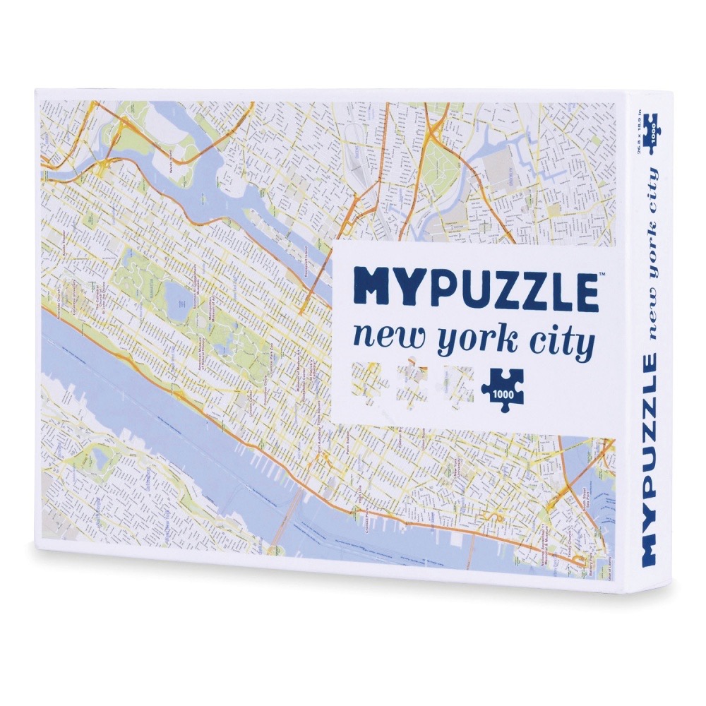
The image features a detailed cartographic map of New York City, presented as a top-down view. The layout focuses on the island of Manhattan, with the Hudson and East Rivers depicted in a soft periwinkle blue. The city streets are laid out in a complex, high-density grid pattern, with major highways and arterial roads highlighted in vibrant orange lines to provide contrast against the delicate, pale grey street network.
Green spaces, including the expansive rectangular form of Central Park, are rendered in muted, light-toned hues, breaking up the dense urban texture. The overall composition is clean and minimalist, characteristic of a contemporary map illustration. The visual information is precise, showcasing a functional representation of the city's geography and infrastructure.
Light and colour are used sparingly to ensure readability, with the soft blue and neutral white creating a bright, airy aesthetic. The orange lines guide the eye across the map, emphasizing the main traffic corridors. The image is a clear, informative graphic illustration that prioritizes geographical accuracy and clean design over artistic embellishment, making it a functional reference tool for navigating the metropolitan area.