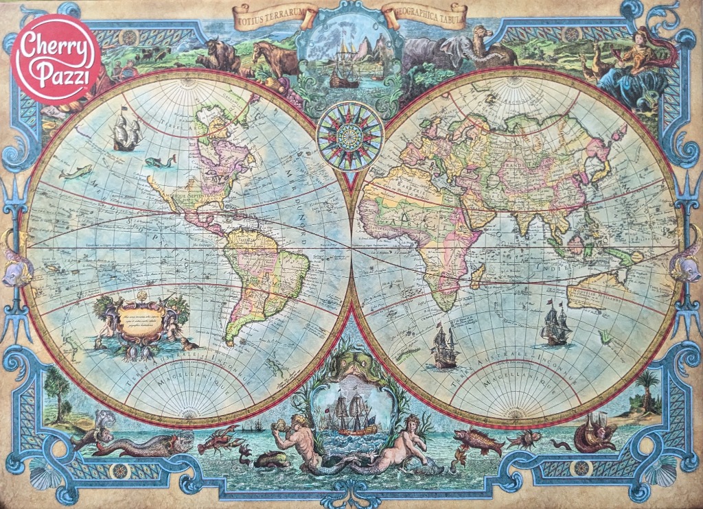
This illustration depicts a classic double-hemisphere world map in an antique cartographic style. The two circular hemispheres dominate the composition, showcasing the continents with vintage naming conventions and subtle pastel color-coding for different regions. Faint grid lines span the blue oceans, which are punctuated by illustrations of sailing ships, sea monsters, and geographic details typical of 17th-century maps.
The map is framed by an elaborate, decorative border featuring scrolling blue ornamentation, golden accents, and ornate cartouches. At the top, a banner reads "TOTIUS TERRARUM GEOGRAPHICA TABULA." The central space between the hemispheres holds a detailed compass rose. Decorative scenes are tucked into the corners and edges, including depictions of land animals, maritime navigation, and mythological figures such as merpeople entwined with sea creatures at the bottom.
The overall aesthetic mimics aged parchment, utilizing a palette of sepia, muted blues, and soft faded greens and pinks. The lighting is flat and uniform, typical of historical engravings or maps, emphasizing the intricate line work and calligraphic text labels throughout the continents and oceans. The mood is scholarly and adventurous, evoking the spirit of the Age of Discovery.