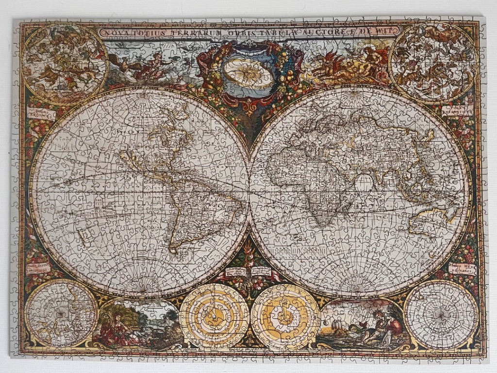
This image depicts a reproduction of an ornate 17th-century antique map titled "Nova Totius Terrarum Orbis Tabula Auctore F. de Wit." The central focus consists of two large, circular hemispheres showing the geography of the known world as it was understood during the historical period. The continents are rendered in a vintage cartographic style with faded parchment tones, detailed line work for coastal outlines, and grid lines traversing the oceans.
Surrounding the two primary hemispheres is a wealth of classical ornamentation. The four corners and central spaces are filled with detailed celestial circular charts and mythological allegorical scenes featuring figures in period dress. The spaces between the maps and the decorative elements are densely packed with floral motifs, scrollwork, and intricate cartouches.
The colour palette is muted and aged, relying heavily on parchment creams, soft ochres, dark earthy browns, and faded reds. The artistic style mimics a copperplate engraving, giving the entire composition a sophisticated, academic feel. The overall mood is that of a historical artifact, emphasizing the era of discovery through its balanced, busy, and symmetrical layout that integrates geographical data with artistic, cosmological, and mythological storytelling.