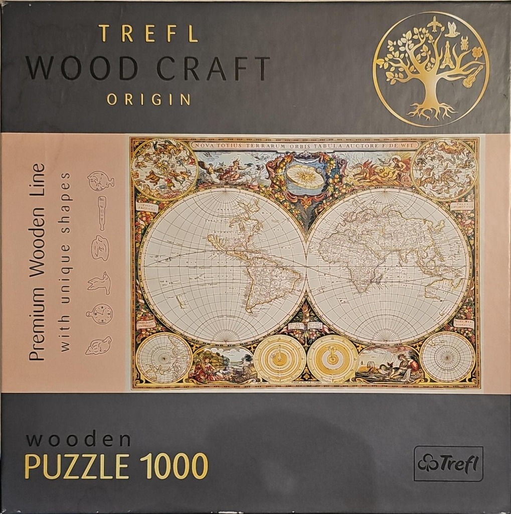
The central image is a detailed, antique-style world map featuring two large circular hemispheres set against a cream-colored background. The map displays the continents as they were understood during the era of early cartography, surrounded by a complex web of longitude and latitude lines. The title, "NOVA TOTIUS TERRARUM ORBIS TABULA AUCTORE F. DE WIT," is printed in elegant lettering along the top edge of the map.
The composition is highly decorative, with the space surrounding the two main hemispheres filled with intricate illustrations. Along the top, there are celestial depictions of figures and zodiac signs. Below the hemispheres, four smaller circular diagrams are positioned in the corners and center, showing planetary alignments and additional geographical details. The artwork uses a warm, muted palette of sepia, ochre, soft blues, and muted greens, giving it the appearance of an aged parchment document.
Fine, dark ink lines define the borders, landmasses, and the many allegorical figures that frame the maps. The overall aesthetic is classical and scholarly, reminiscent of 17th-century engraving and painting styles. The presentation is flat and illustrative, prioritizing intricate detail and decorative flourish over photorealism, creating a timeless, historical atmosphere.