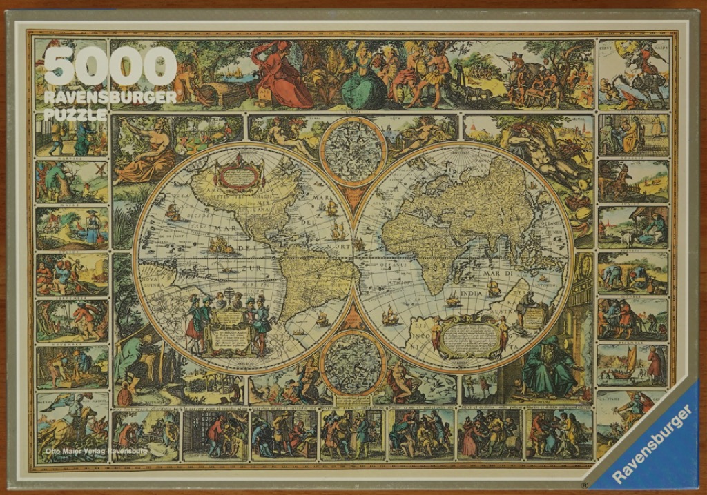
This antique-style, hand-coloured map features a dual-hemisphere projection of the Earth as it was known in the 17th century. The two large circular maps dominate the center, filled with detailed cartographic linework, sailing ships, and sea monsters. Between the hemispheres, smaller circular inserts depict celestial observations and star charts. The entire central area is framed by ornate, mythological, and allegorical figures that represent the classical elements and seasons.
Surrounding the central world map is a decorative border divided into individual rectangular panels. Each panel illustrates activities, landscapes, and daily life associated with specific months of the year, alongside depictions of the four elements. The artistic style is reminiscent of copperplate engravings, characterized by delicate cross-hatching and fine linework. The figures are rendered with expressive posture and historical attire.
The colour palette consists of muted, earthy tones including parchment yellow, aged greens, faded reds, and deep blues, giving the image the authentic look of a historical document. The lighting is flat and even, characteristic of an illustrative print, highlighting the intricate details of the geography and the busy scenes of human activity in the border frames. The composition is highly structured, balancing scientific geographical representation with elaborate, classicist decorative art.