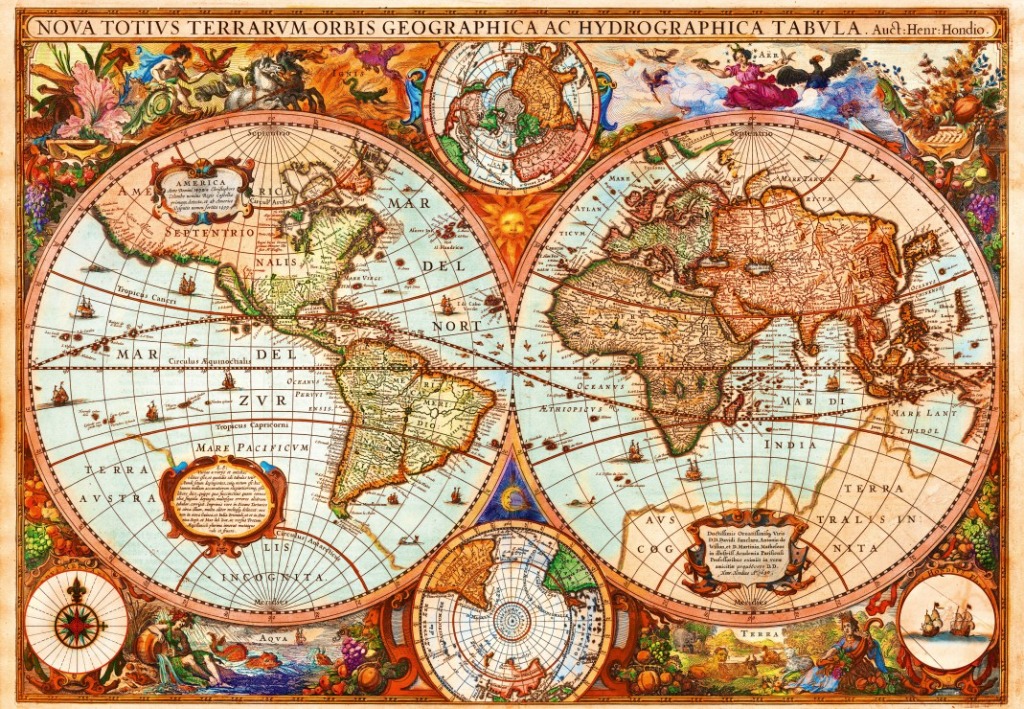
This antique-style world map is dominated by two large, circular projections representing the Western and Eastern Hemispheres. The landmasses are rendered with sepia and muted green tones, set against a cream-colored background marked by a delicate grid of longitude and latitude. Between the two main spheres, a small sun face glows, while smaller circular projections of the Arctic and Antarctic regions are nestled at the top and bottom center, respectively.
Surrounding the central maps is a vibrant array of classical artwork. Elaborate figures represent the four elements: fire, air, water, and earth, depicted through mythical scenes featuring figures, animals, and bountiful fruit arrangements in the corners. A detailed compass rose sits in the bottom left corner, while small, intricate illustrations of sailing ships are scattered across the vast, pale blue oceans.
The composition is framed by a decorative header containing the Latin title "NOVA TOTIVS TERRARVM ORBIS GEOGRAPHICA AC HYDROGRAPHICA TABVLA." The overall mood is academic and grandiose, evoking the golden age of cartography. The style uses rich, warm colors, including deep crimsons, ochres, and verdant greens, which contrast beautifully against the aged parchment texture, creating a sense of history and discovery.