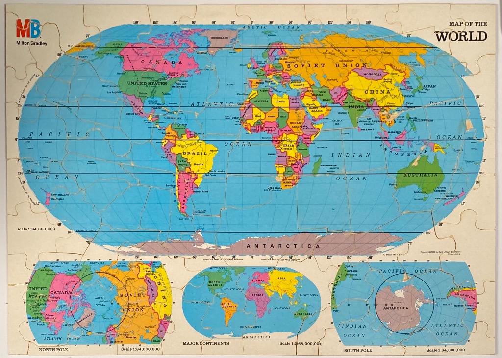
This vintage-style educational map features a large central elliptical projection of the world, bordered by cream-coloured margins containing cartographic data. The central map illustrates political boundaries of the late 20th century, notably featuring the Soviet Union. Major landmasses are rendered in distinct pastel shades of pink, yellow, green, and orange to differentiate sovereign states, while the vast oceans are depicted in a uniform, flat blue.
The layout includes three additional inset maps along the bottom edge to provide varied perspectives of the globe. On the left is a polar projection centered on the North Pole, on the right is a polar projection centered on the South Pole, and in the center is a smaller, oval-shaped world map illustrating the major continents. Each inset is surrounded by clear labeling for regional oceans and geographical features.
The overall aesthetic is that of a classroom or reference atlas from the era. The color palette relies on high-contrast primary and secondary tones for the continents against the muted blue background of the seas. Fine black text identifies nations, major cities, and oceans, while thin black lines indicate latitude and longitude coordinates. The composition is structured and academic, focusing on geographical clarity and the political climate of the period.