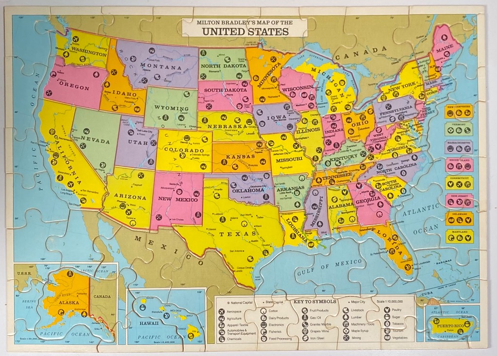
This vintage-style illustrated map of the United States depicts the country divided into colorful segments representing each state. The map is primarily yellow, green, pink, and purple, with light blue representing the surrounding oceans, the Gulf of Mexico, and the Great Lakes. A prominent title banner at the top reads, "Milton Bradley's Map of the United States," and the overall aesthetic is reminiscent of mid-20th-century educational wall charts.
Each state is labeled with its name and marked with small, circular icons that denote local industries or geographical features, such as agriculture, mining, and manufacturing. A comprehensive "Key to Symbols" is located in the lower-right corner, explaining these icons, which range from aerospace and cotton to tourism and fisheries. The geography includes national capitals, state capitals, and major cities marked with small dots.
In the bottom-left corner, a separate inset shows Alaska, while a smaller inset for Hawaii is positioned toward the bottom center. A final inset for Puerto Rico appears in the lower-right corner. The borders of Canada and Mexico are visible, and the map features longitudinal and latitudinal grid lines, giving it a technical, cartographic appearance consistent with classic schoolroom geography tools.