Political worldmap
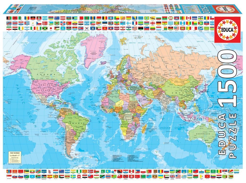
This is a detailed political map of the world presented in a classic cartographic style. The major continents—North and South America, Europe, Asia, Africa, and Australia—are depicted in distinct, soft pastel colours to differentiate national borders. The vast expanses of the Earth's oceans are rendered in a light, watery blue, providing a clean background for the colourful landmasses. The text includes labels for major countries, capitals, and bodies of water, all written in a crisp, legible font.
The composition is framed by a decorative and informative border consisting of a continuous strip of small, rectangular national flags from around the globe. These flags run across the top and bottom edges of the scene, creating a vibrant, colourful frame for the central map. The layout is balanced and traditional, common in educational wall maps, providing a comprehensive view of global geography.
The overall aesthetic is clean and instructional, utilizing a palette of muted greens, pinks, yellows, and oranges for the land, contrasted against the bright blue of the seas. Light grey lines denote internal administrative regions and international boundaries. In the bottom-left corner, there is a small key or legend box providing details on conventional signs used within the map, maintaining a professional and systematic presentation.
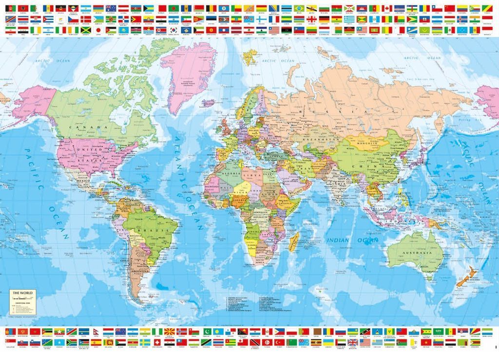
This highly detailed political map of the world features a classic Mercator projection. Countries are color-coded in muted pastel tones of green, yellow, pink, and tan, set against a light blue, textured ocean background that indicates subtle depth. Major cities, international borders, and longitudinal lines are clearly marked, providing a comprehensive view of the Earth's landmasses from the Arctic to the Southern Ocean.
The layout is structured and clean, designed for educational or reference purposes. A prominent grid of national flags, arranged in rows along both the top and bottom horizontal margins, frames the main map. These flags provide a vibrant, decorative, and informative border that contrasts with the softer, more subdued palette used for the continental terrain. A small legend in the lower-left corner titled "The World" offers key information about the map's symbology and scaling.
The overall aesthetic is professional and academic, prioritizing clarity and information density. The lighting is uniform and flat, typical of cartographic illustrations, which ensures that text and boundaries remain easy to read across the entire expanse. The composition is balanced, using the central landmasses as the focal point while the decorative flags act as a formal border, guiding the eye across the periphery of the global view.
