The World
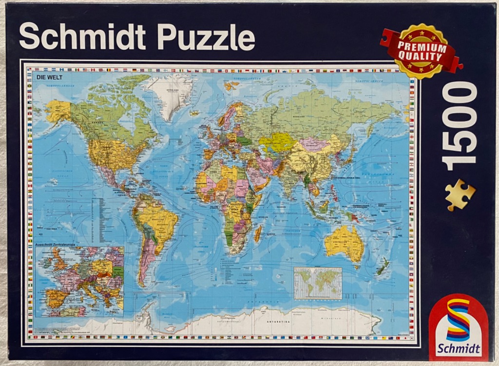
This illustration depicts a comprehensive political world map set against a light blue oceanic backdrop. The continents are rendered in varied, muted pastels and earth tones, allowing for clear distinction between individual countries. Thin, curving lines overlay the oceans, representing major maritime currents, while detailed topographical features such as mountain ranges and plains are subtly indicated. The text labels are printed in a clean, legible sans-serif typeface, denoting countries, major cities, and oceanic regions.
The composition is framed by a decorative border consisting of miniature national flags from countries around the globe. In the lower left corner, an inset map provides a zoomed-in, detailed view of Central Europe, showcasing regional borders and cities with greater clarity. A smaller inset in the lower right depicts a world time zone diagram. Antarctica appears as a white, icy expanse at the very bottom of the map, completing the global view.
The overall aesthetic is that of a classic educational reference map, prioritizing clarity and geographical accuracy. The colour palette is soft, utilizing shades of green, yellow, pink, and orange to separate national territories against the expansive, calm blue of the sea. The lighting is uniform and bright, mimicking a printed reference chart, with no shadows or dramatic highlights, ensuring all geographical details remain easily readable.

