Exploring Maps
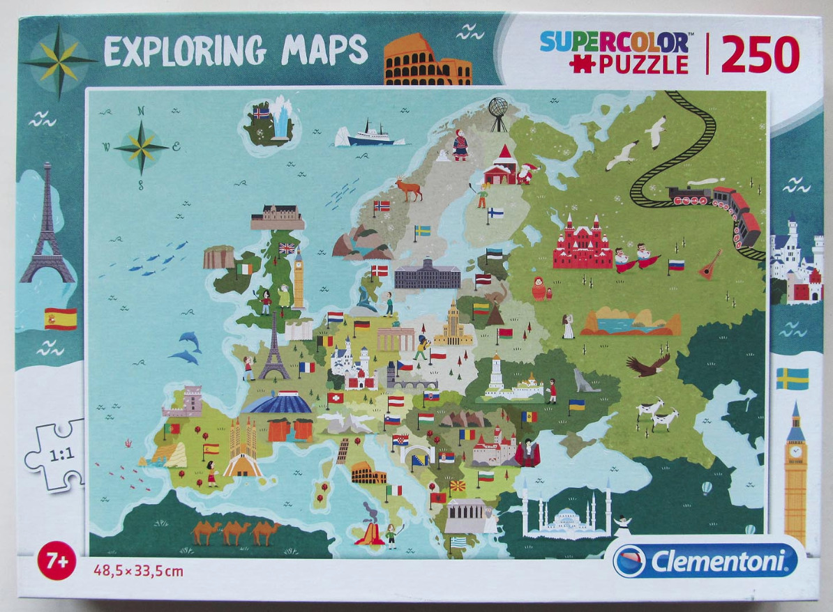
This illustrated map provides a stylized overview of Europe, densely populated with miniature landmarks, cultural symbols, and national flags. The continent is rendered in varying shades of green, set against a pale blue ocean that includes small decorative details like schools of fish and dolphins. The composition is playful and educational, placing recognizable architectural marvels—such as the Eiffel Tower, the Colosseum, and various cathedrals—directly over their respective geographical locations.
In addition to human-made structures, the map features diverse illustrations of natural features and cultural figures. Reindeer, bears, camels, and eagles are scattered across the landscape, while small figures representing locals in traditional attire or regional activities appear throughout the countries. A steam train traverses the eastern landscape on a winding black track, adding a sense of movement to the otherwise static map. The color palette relies on soft, muted earth tones for the landmasses, providing a clear contrast to the vibrant, saturated colors used for the flags and specific iconic monuments.
The overall aesthetic is that of a modern, flat-design vector illustration. The art style is simplified and whimsical, emphasizing clarity and recognition over geographical precision. Each nation is identified not only by its shape and flag but by an instantly recognizable icon that captures a facet of its national identity or history. The clear lines and bright, cheerful color scheme make this a highly accessible and engaging representation of the European continent.

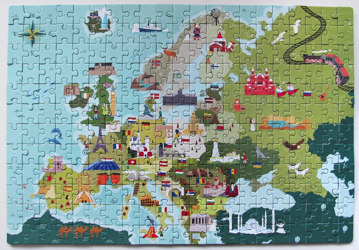
This whimsical, stylized map of Europe depicts the continent through colorful vector illustrations. The composition is divided by a soft color palette: the western regions and oceanic areas are rendered in shades of light and aqua blue, while the eastern and northern landmasses transition into various tones of olive and forest green. The map is filled with iconic cultural landmarks, such as the Eiffel Tower, the Colosseum, and the Parthenon, alongside small, charming character illustrations representing local customs and folklore.
National flags are dispersed across the borders of the countries, serving as small markers throughout the geography. The map includes various animals and transport elements, such as camels in the far south, a steam train traversing the eastern landscape, and various birds soaring across the terrain. A vintage-style wind rose sits in the top left corner, adding to the explorative, storybook atmosphere.
The artistic style is flat and playful, utilizing bold lines and a saturated, cheerful color scheme. The overall effect is that of a modern educational graphic, designed to highlight regional diversity and historical architecture through a friendly, accessible visual language. Light, simple details like stylized clouds and tiny waves populate the ocean, completing the playful narrative of this European continent map.
