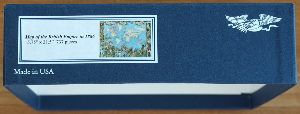
Map of the British Empire in 1886
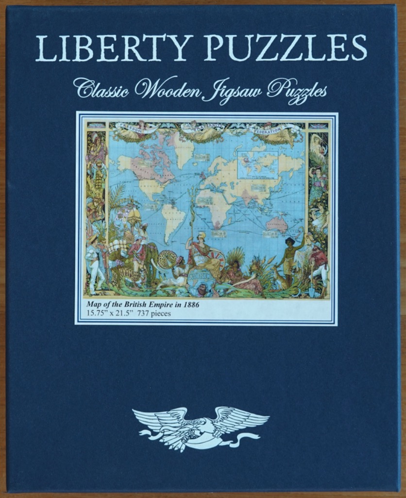
The central artwork features an antique 1886 world map tinted in soft blues and muted earthy tones, representing the geopolitical landscape of the British Empire. The map is overlaid with intricate shipping lines connecting distant continents. Surrounding this cartographic core is a highly detailed, illustrative border filled with symbolic figures, flora, and fauna that reflect the cultural and imperial aesthetic of the late 19th century.
At the base of the map, a central female figure in classical robes sits prominently, flanked by diverse personifications of colonial subjects and indigenous wildlife. The composition is structured like a formal frame, with vertical panels on either side containing stylized depictions of people in traditional dress, architectural elements, and lush greenery. The top of the frame is adorned with banners bearing the words "Freedom," "Fraternity," and "Federation," held by ethereal, wing-like figures.
The overall style is that of a vintage lithograph or historical poster, utilizing fine line work and a decorative, crowded composition typical of Victorian-era graphic design. The colour palette relies on soft, aged parchment tones for the landmasses, contrasted against a faded teal ocean, while the outer borders feature more vibrant, saturated greens, golds, and floral accents. The lighting is flat and even, characteristic of an illustrative plate rather than a realistic photograph.