Küste mit leuchtturm
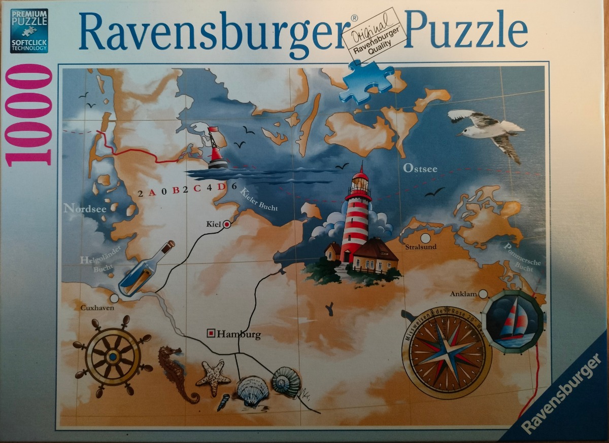
This illustration depicts a stylized nautical map of the northern German coastline, covering regions from the North Sea (Nordsee) to the Baltic Sea (Ostsee). The map features tan-coloured landmasses set against a deep blue sea background, overlaid with faint longitudinal and latitudinal grid lines. A large, red-and-white striped lighthouse stands prominently on the coast near the Baltic, serving as a central focal point.
Several nautical-themed elements are scattered across the composition. In the lower-left, a classic wooden ship's wheel, a seahorse, a starfish, and various shells are illustrated. Near the centre-left, a glass bottle containing a rolled-up message floats in the water. A compass rose is positioned in the lower-right, along with a small circular inset showing a sailboat at sea. A single seagull is captured mid-flight in the upper-right corner, and a navigational buoy bobs in the water near the coastline.
The artistic style is painterly and decorative, utilizing warm earthy tones for the land and deep, moody blues for the water. The composition is balanced and illustrative, reminiscent of vintage seafaring charts. The map includes geographic labels such as Kiel, Hamburg, Stralsund, and Cuxhaven, with thin black lines tracing potential routes. The overall mood is whimsical and adventurous, evoking the spirit of maritime exploration and coastal charm.

by Quanjerpuzzles 2025-08-24
