Panorama Map of Europe
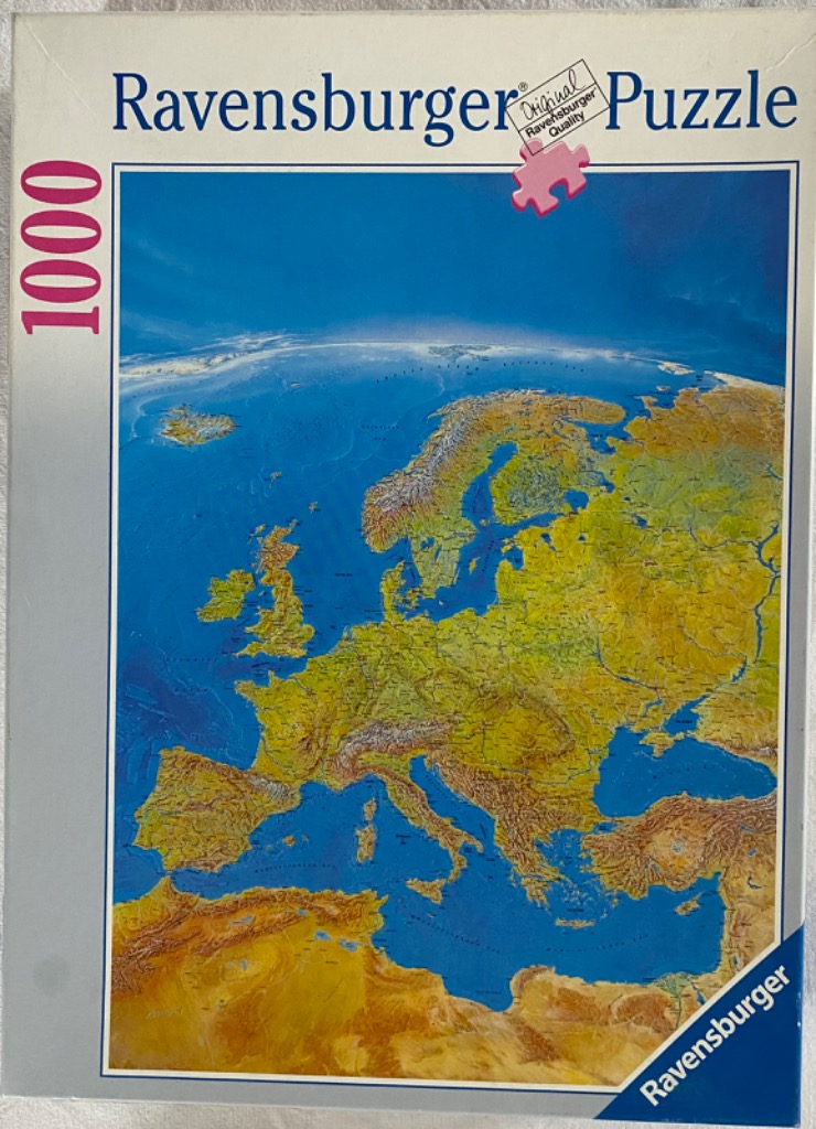
This illustration provides a high-angle, top-down view of the European continent as it would appear from space, focusing on its physical geography and terrain. The image captures the diverse landscape, stretching from the northern reaches of Scandinavia down to the Mediterranean Sea and the northern edge of the African coastline. The map highlights prominent topographical features, including mountain ranges, vast plains, and the intricate, jagged coastlines of the British Isles, the Baltic, and the Mediterranean peninsulas.
The colour palette is defined by earthy, natural tones that emphasize elevation. Deep, vibrant blues illustrate the surrounding oceans and internal seas, with lighter shades of teal and cyan suggesting shallow waters. On land, the terrain shifts from lush greens and ochres in flatter, fertile regions to rugged, dark brown, and grey textures that represent high-altitude mountain chains, such as the Alps and the Pyrenees. A subtle, light-grey hazy arc at the top of the frame suggests the curvature of the Earth against the atmosphere.
The artwork is rendered with a realistic, cartographic aesthetic, resembling a satellite relief map. The shading is precise, providing a three-dimensional effect that makes the mountain ranges and river basins appear as tactile, physical structures. The composition is clean and focused, placing Europe centrally to provide a clear, comprehensive overview of the continent's interconnected landmasses and aquatic boundaries.

