Finger Lakes
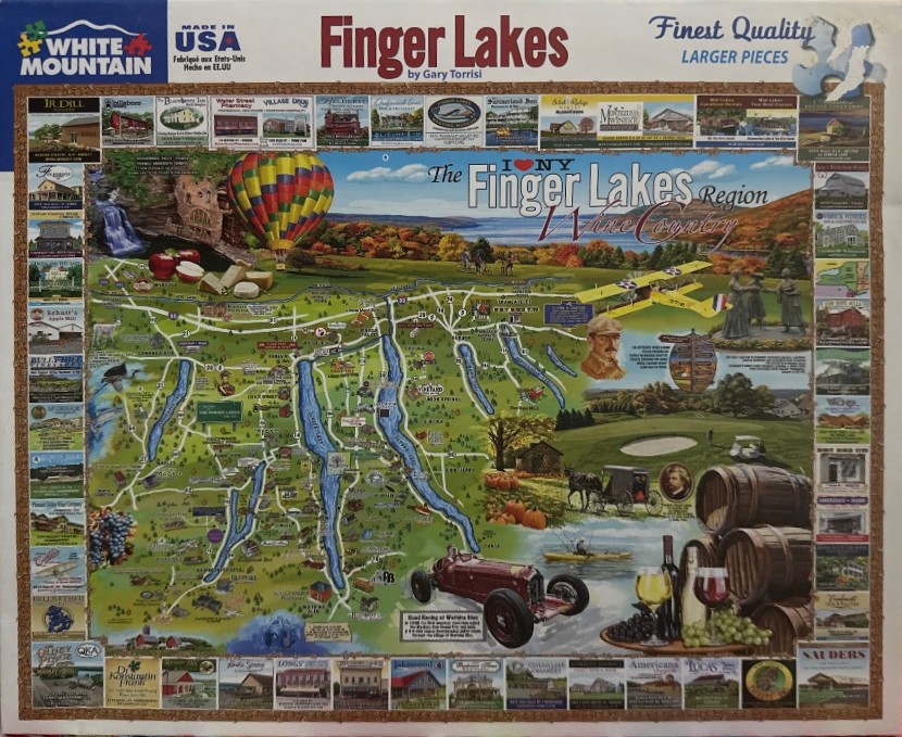
This illustration depicts a stylized, artistic map of the Finger Lakes region in New York, set against a backdrop of rolling hills, deep blue water, and autumn-toned landscapes. The central focus is the geographical layout of the lakes, represented as elongated, vibrant blue shapes connected by a network of white roads and markers. Interspersed across the landscape are iconic regional symbols, including a colorful hot air balloon floating in the upper left, a yellow biplane soaring across the sky, and various historical or local cultural figures, such as a portrait of a man and statues of women.
Surrounding the central map is a decorative border composed of many rectangular vignettes. These small, individual images showcase various local wineries, bed and breakfasts, historical buildings, and businesses. The overall composition is dense and informative, framed by a textured, cork-like border that gives the impression of a bulletin board or travel collage.
Warm, earthy colors dominate the palette, with vibrant oranges and yellows representing the fall foliage, set against the cool, deep blues of the lakes. The artistic style is reminiscent of a commemorative travel poster or a souvenir postcard, blending cartographic elements with nostalgic vignettes to evoke a sense of regional tourism and local heritage. Small touches, such as wine barrels, glasses of wine, and a vintage roadster car in the lower foreground, add to the theme of wine country and leisure.
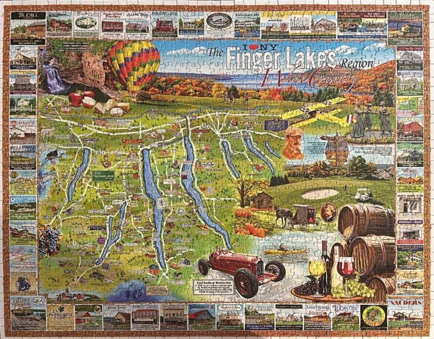
This illustration depicts a map of the Finger Lakes region of New York, rendered in a stylized, artistic cartographic fashion. The central focus is the geographical layout of the long, narrow lakes surrounded by rolling green hills, vineyards, and scenic roads. Above the map, the text "I love NY The Finger Lakes Region Wine Country" is prominently displayed against a backdrop of autumn-hued trees and a vibrant, multi-colored hot air balloon.
The composition is framed by an extensive border of rectangular vignettes, each showcasing various local wineries, historical buildings, and landmarks. The map itself is dotted with specific cultural and historical references, including a vintage red race car representing Watkins Glen, a horse-drawn carriage, a yellow biplane, and lush clusters of wine grapes. These illustrations add a sense of adventure and heritage to the geography, reflecting the region's reputation as a premier destination for wine and outdoor recreation.
The colour palette is warm and inviting, dominated by shades of lush green for the landscape, deep blues for the lakes, and rich earth tones in the harvest-themed elements. The lighting throughout the illustration is bright and cheerful, suggestive of a crisp, sunny autumn day. The art style is reminiscent of classic travel posters or vintage postcards, utilizing detailed line work and saturated colours to highlight the rustic charm and scenic beauty of the area.

